| کد مقاله | کد نشریه | سال انتشار | مقاله انگلیسی | نسخه تمام متن |
|---|---|---|---|---|
| 11025036 | 1701037 | 2018 | 16 صفحه PDF | دانلود رایگان |
عنوان انگلیسی مقاله ISI
Multiple Optimal Depth Predictors Analysis (MODPA) for river bathymetry: Findings from spectroradiometry, simulations, and satellite imagery
دانلود مقاله + سفارش ترجمه
دانلود مقاله ISI انگلیسی
رایگان برای ایرانیان
موضوعات مرتبط
مهندسی و علوم پایه
علوم زمین و سیارات
کامپیوتر در علوم زمین
پیش نمایش صفحه اول مقاله

چکیده انگلیسی
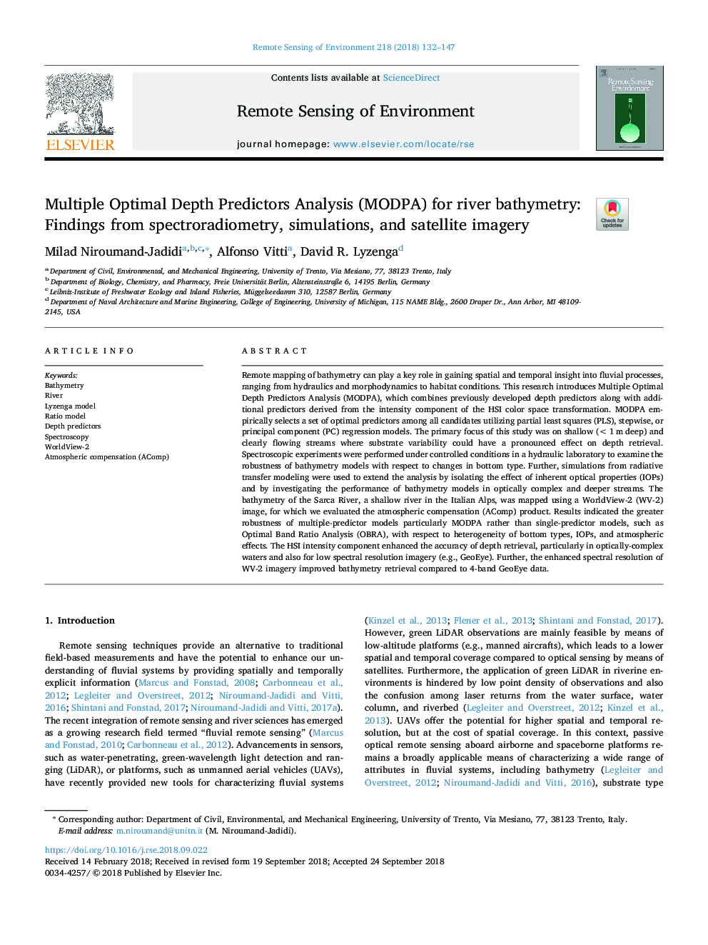
Remote mapping of bathymetry can play a key role in gaining spatial and temporal insight into fluvial processes, ranging from hydraulics and morphodynamics to habitat conditions. This research introduces Multiple Optimal Depth Predictors Analysis (MODPA), which combines previously developed depth predictors along with additional predictors derived from the intensity component of the HSI color space transformation. MODPA empirically selects a set of optimal predictors among all candidates utilizing partial least squares (PLS), stepwise, or principal component (PC) regression models. The primary focus of this study was on shallow (<1â¯m deep) and clearly flowing streams where substrate variability could have a pronounced effect on depth retrieval. Spectroscopic experiments were performed under controlled conditions in a hydraulic laboratory to examine the robustness of bathymetry models with respect to changes in bottom type. Further, simulations from radiative transfer modeling were used to extend the analysis by isolating the effect of inherent optical properties (IOPs) and by investigating the performance of bathymetry models in optically complex and deeper streams. The bathymetry of the Sarca River, a shallow river in the Italian Alps, was mapped using a WorldView-2 (WV-2) image, for which we evaluated the atmospheric compensation (AComp) product. Results indicated the greater robustness of multiple-predictor models particularly MODPA rather than single-predictor models, such as Optimal Band Ratio Analysis (OBRA), with respect to heterogeneity of bottom types, IOPs, and atmospheric effects. The HSI intensity component enhanced the accuracy of depth retrieval, particularly in optically-complex waters and also for low spectral resolution imagery (e.g., GeoEye). Further, the enhanced spectral resolution of WV-2 imagery improved bathymetry retrieval compared to 4-band GeoEye data.
ناشر
Database: Elsevier - ScienceDirect (ساینس دایرکت)
Journal: Remote Sensing of Environment - Volume 218, 1 December 2018, Pages 132-147
Journal: Remote Sensing of Environment - Volume 218, 1 December 2018, Pages 132-147
نویسندگان
Milad Niroumand-Jadidi, Alfonso Vitti, David R. Lyzenga,