| کد مقاله | کد نشریه | سال انتشار | مقاله انگلیسی | نسخه تمام متن |
|---|---|---|---|---|
| 6320178 | 1619717 | 2017 | 12 صفحه PDF | دانلود رایگان |
- The relation between soil erosion and land use patterns was studied.
- Multiple linear regression method was used to obtain the relation.
- The four main contributing landscape indices were highlighted by regression analysis.
- The large patch index was the most important landscape index affecting soil erosion.
- It is not feasible to obtain the soil erosion amount from landscape metrics alone.
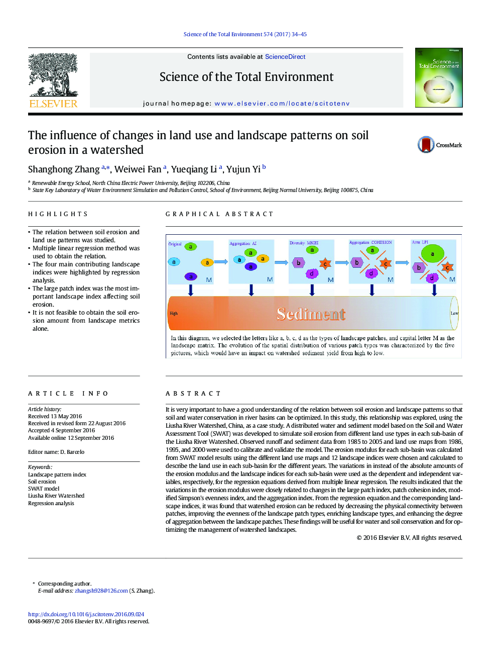
It is very important to have a good understanding of the relation between soil erosion and landscape patterns so that soil and water conservation in river basins can be optimized. In this study, this relationship was explored, using the Liusha River Watershed, China, as a case study. A distributed water and sediment model based on the Soil and Water Assessment Tool (SWAT) was developed to simulate soil erosion from different land use types in each sub-basin of the Liusha River Watershed. Observed runoff and sediment data from 1985 to 2005 and land use maps from 1986, 1995, and 2000 were used to calibrate and validate the model. The erosion modulus for each sub-basin was calculated from SWAT model results using the different land use maps and 12 landscape indices were chosen and calculated to describe the land use in each sub-basin for the different years. The variations in instead of the absolute amounts of the erosion modulus and the landscape indices for each sub-basin were used as the dependent and independent variables, respectively, for the regression equations derived from multiple linear regression. The results indicated that the variations in the erosion modulus were closely related to changes in the large patch index, patch cohesion index, modified Simpson's evenness index, and the aggregation index. From the regression equation and the corresponding landscape indices, it was found that watershed erosion can be reduced by decreasing the physical connectivity between patches, improving the evenness of the landscape patch types, enriching landscape types, and enhancing the degree of aggregation between the landscape patches. These findings will be useful for water and soil conservation and for optimizing the management of watershed landscapes.
194
Journal: Science of The Total Environment - Volume 574, 1 January 2017, Pages 34-45
