| کد مقاله | کد نشریه | سال انتشار | مقاله انگلیسی | نسخه تمام متن |
|---|---|---|---|---|
| 8866850 | 1621196 | 2018 | 11 صفحه PDF | دانلود رایگان |
عنوان انگلیسی مقاله ISI
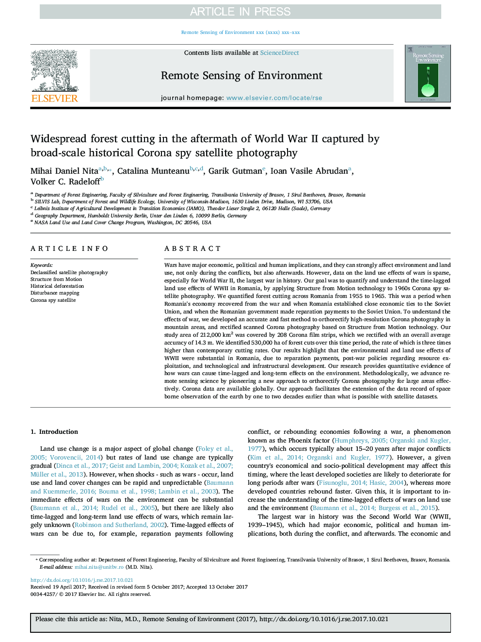
Widespread forest cutting in the aftermath of World War II captured by broad-scale historical Corona spy satellite photography
دانلود مقاله + سفارش ترجمه
دانلود مقاله ISI انگلیسی
رایگان برای ایرانیان
موضوعات مرتبط
مهندسی و علوم پایه
علوم زمین و سیارات
کامپیوتر در علوم زمین
پیش نمایش صفحه اول مقاله

چکیده انگلیسی
Wars have major economic, political and human implications, and they can strongly affect environment and land use, not only during the conflicts, but also afterwards. However, data on the land use effects of wars is sparse, especially for World War II, the largest war in history. Our goal was to quantify and understand the time-lagged land use effects of WWII in Romania, by applying Structure from Motion technology to 1960s Corona spy satellite photography. We quantified forest cutting across Romania from 1955 to 1965. This was a period when Romania's economy recovered from the war and when Romania established close economic ties to the Soviet Union, and when the Romanian government made reparation payments to the Soviet Union. To understand the effects of war, we developed an accurate and fast method to orthorectify high-resolution Corona photography in mountain areas, and rectified scanned Corona photography based on Structure from Motion technology. Our study area of 212,000Â km2 was covered by 208 Corona film strips, which we rectified with an overall average accuracy of 14.3Â m. We identified 530,000Â ha of forest cuts over this time period, the rate of which is three times higher than contemporary cutting rates. Our results highlight that the environmental and land use effects of WWII were substantial in Romania, due to reparation payments, post-war policies regarding resource exploitation, and technological and infrastructural development. Our research provides quantitative evidence of how wars can cause time-lagged and long-term effects on the environment. Methodologically, we advance remote sensing science by pioneering a new approach to orthorectify Corona photography for large areas effectively. Corona data are available globally. Our approach facilitates the extension of the data record of space borne observation of the earth by one to two decades earlier than what is possible with satellite datasets.
ناشر
Database: Elsevier - ScienceDirect (ساینس دایرکت)
Journal: Remote Sensing of Environment - Volume 204, January 2018, Pages 322-332
Journal: Remote Sensing of Environment - Volume 204, January 2018, Pages 322-332
نویسندگان
Mihai Daniel Nita, Catalina Munteanu, Garik Gutman, Ioan Vasile Abrudan, Volker C. Radeloff,