| کد مقاله | کد نشریه | سال انتشار | مقاله انگلیسی | نسخه تمام متن |
|---|---|---|---|---|
| 8966007 | 1646758 | 2019 | 11 صفحه PDF | دانلود رایگان |
عنوان انگلیسی مقاله ISI
Detection of geothermal anomalies using Landsat 8 TIRS data in Tulu Moye geothermal prospect, Main Ethiopian Rift
دانلود مقاله + سفارش ترجمه
دانلود مقاله ISI انگلیسی
رایگان برای ایرانیان
موضوعات مرتبط
مهندسی و علوم پایه
علوم زمین و سیارات
کامپیوتر در علوم زمین
پیش نمایش صفحه اول مقاله

چکیده انگلیسی
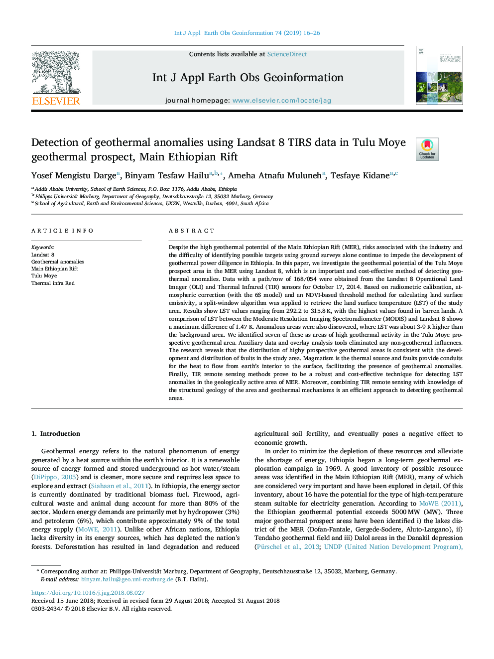
Despite the high geothermal potential of the Main Ethiopian Rift (MER), risks associated with the industry and the difficulty of identifying possible targets using ground surveys alone continue to impede the development of geothermal power diligence in Ethiopia. In this paper, we investigate the geothermal potential of the Tulu Moye prospect area in the MER using Landsat 8, which is an important and cost-effective method of detecting geothermal anomalies. Data with a path/row of 168/054 were obtained from the Landsat 8 Operational Land Imager (OLI) and Thermal Infrared (TIR) sensors for October 17, 2014. Based on radiometric calibration, atmospheric correction (with the 6S model) and an NDVI-based threshold method for calculating land surface emissivity, a split-window algorithm was applied to retrieve the land surface temperature (LST) of the study area. Results show LST values ranging from 292.2 to 315.8âK, with the highest values found in barren lands. A comparison of LST between the Moderate Resolution Imaging Spectroradiometer (MODIS) and Landsat 8 shows a maximum difference of 1.47 K. Anomalous areas were also discovered, where LST was about 3-9 K higher than the background area. We identified seven of these as areas of high geothermal activity in the Tulu Moye prospective geothermal area. Auxiliary data and overlay analysis tools eliminated any non-geothermal influences. The research reveals that the distribution of highy prospective geothermal areas is consistent with the development and distribution of faults in the study area. Magmatism is the thermal source and faults provide conduits for the heat to flow from earth's interior to the surface, facilitating the presence of geothermal anomalies. Finally, TIR remote sensing methods prove to be a robust and cost-effective technique for detecting LST anomalies in the geologically active area of MER. Moreover, combining TIR remote sensing with knowledge of the structural geology of the area and geothermal mechanisms is an efficient approach to detecting geothermal areas.
ناشر
Database: Elsevier - ScienceDirect (ساینس دایرکت)
Journal: International Journal of Applied Earth Observation and Geoinformation - Volume 74, February 2019, Pages 16-26
Journal: International Journal of Applied Earth Observation and Geoinformation - Volume 74, February 2019, Pages 16-26
نویسندگان
Yosef Mengistu Darge, Binyam Tesfaw Hailu, Ameha Atnafu Muluneh, Tesfaye Kidane,