| Article ID | Journal | Published Year | Pages | File Type |
|---|---|---|---|---|
| 286841 | Journal of Rock Mechanics and Geotechnical Engineering | 2011 | 20 Pages |
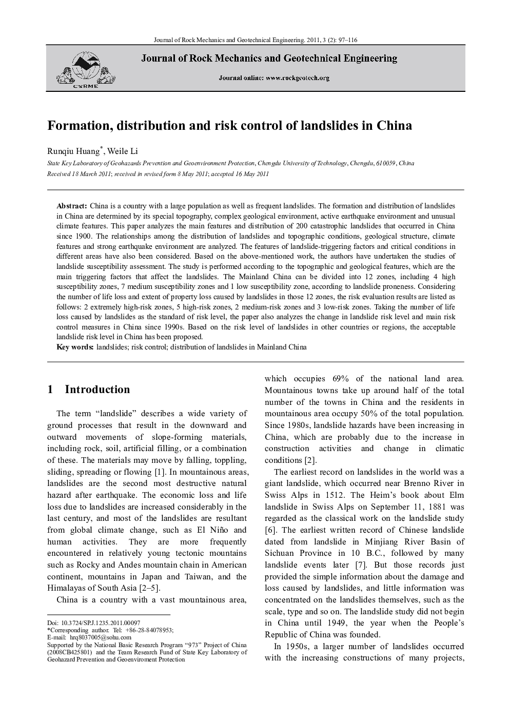
China is a country with a large population as well as frequent landslides. The formation and distribution of landslides in China are determined by its special topography, complex geological environment, active earthquake environment and unusual climate features. This paper analyzes the main features and distribution of 200 catastrophic landslides that occurred in China since 1900. The relationships among the distribution of landslides and topographic conditions, geological structure, climate features and strong earthquake environment are analyzed. The features of landslide-triggering factors and critical conditions in different areas have also been considered. Based on the above-mentioned work, the authors have undertaken the studies of landslide susceptibility assessment. The study is performed according to the topographic and geological features, which are the main triggering factors that affect the landslides. The Mainland China can be divided into 12 zones, including 4 high susceptibility zones, 7 medium susceptibility zones and 1 low susceptibility zone, according to landslide proneness. Considering the number of life loss and extent of property loss caused by landslides in those 12 zones, the risk evaluation results are listed as follows: 2 extremely high-risk zones, 5 high-risk zones, 2 medium-risk zones and 3 low-risk zones. Taking the number of life loss caused by landslides as the standard of risk level, the paper also analyzes the change in landslide risk level and main risk control measures in China since 1990s. Based on the risk level of landslides in other countries or regions, the acceptable landslide risk level in China has been proposed.
