| Article ID | Journal | Published Year | Pages | File Type |
|---|---|---|---|---|
| 4683614 | Geodesy and Geodynamics | 2012 | 10 Pages |
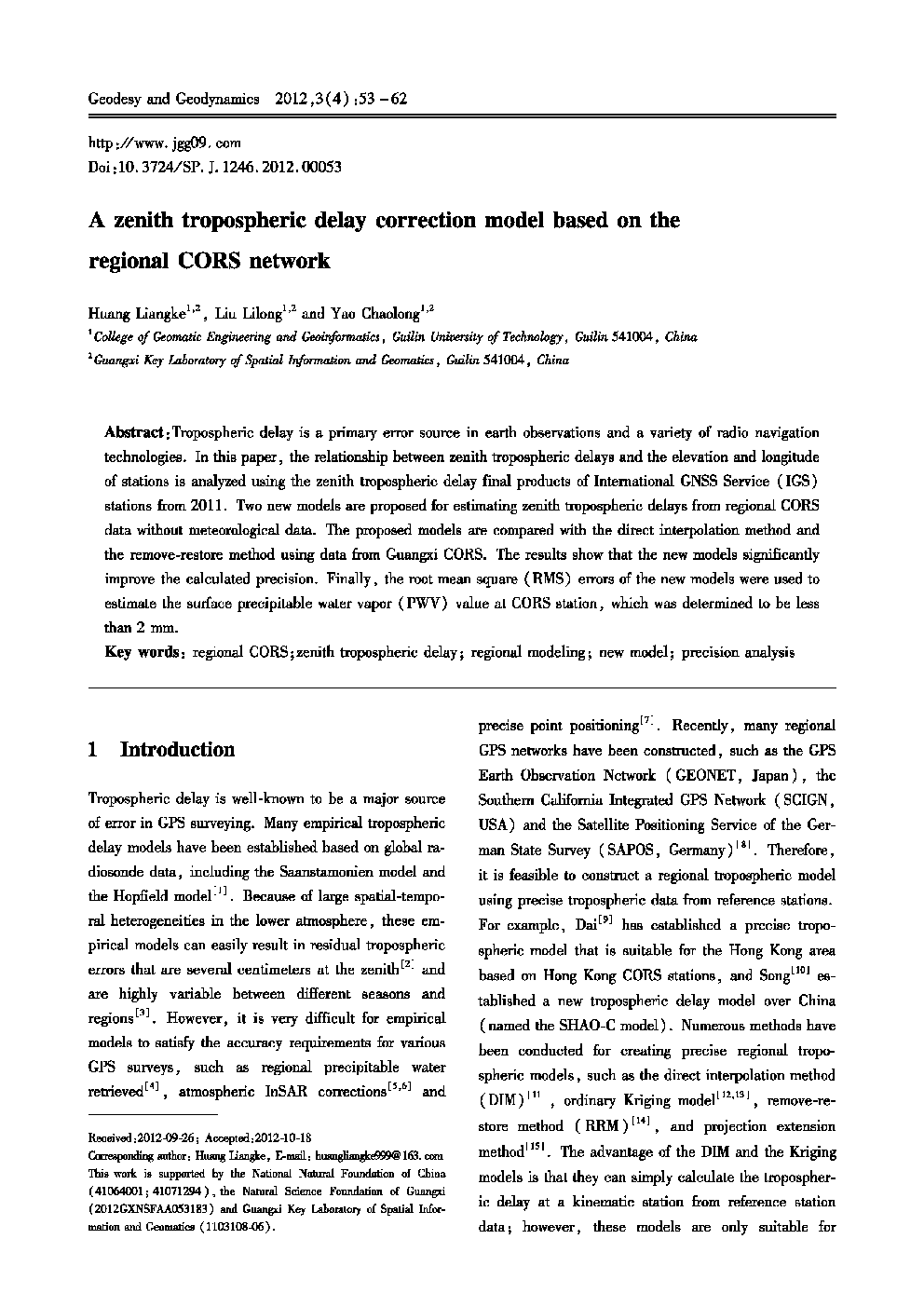
:Tropospheric delay is a primary error source in earth observations and a variety of radio navigation technologies. In this paper, the relationship between zenith tropospheric delays and the elevation and longitude of stations is analyzed using the zenith tropospheric delay final products of International GNSS Service (IGS) stations from 2011. Two new models are proposed for estimating zenith tropospheric delays from regional CORS data without meteorological data. The proposed models are compared with the direct interpolation method and the remove-restore method using data from Guangxi CORS. The results show that the new models significantly improve the calculated precision. Finally, the root mean square (RMS) errors of the new models were used to estimate the surface precipitable water vapor (PWV) value at CORS station, which was determined to be less than 2 mm.
