| Article ID | Journal | Published Year | Pages | File Type |
|---|---|---|---|---|
| 4683681 | Geodesy and Geodynamics | 2014 | 6 Pages |
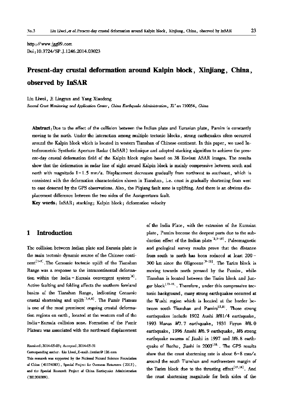
:Due to the effect of the collision between the Indian plate and Eurasian plate, Pamirs is constantly moving to the north. Under the interaction among multiple tectonic blocks, strong earthquakes often occurred around the Kalpin block which is located in western Tianshan of Chinese continent. In this paper, we used Interferometric Synthetic Aperture Radar (InSAR) technique and adopted stacking algorithm to achieve the present-day crustal deformation field of the Kalpin block region based on 38 Envisat ASAR images. The results show that the deformation in radar line of sight around Kalpin block is mainly compressive between south and north with magnitude 1 – 1.5 mm/a. Displacement decreases gradually from northwest to southeast, which is consistent with the deformation characteristics shown in Tianshan, i.e. crust is gradually shortening from west to east detected by the GPS observations. Also, the Piqiang fault zone is uplifting. And there is an obvious displacement difference between the two sides of the Aozigeertawu fault.
