| Article ID | Journal | Published Year | Pages | File Type |
|---|---|---|---|---|
| 4740929 | Journal of Applied Geophysics | 2009 | 14 Pages |
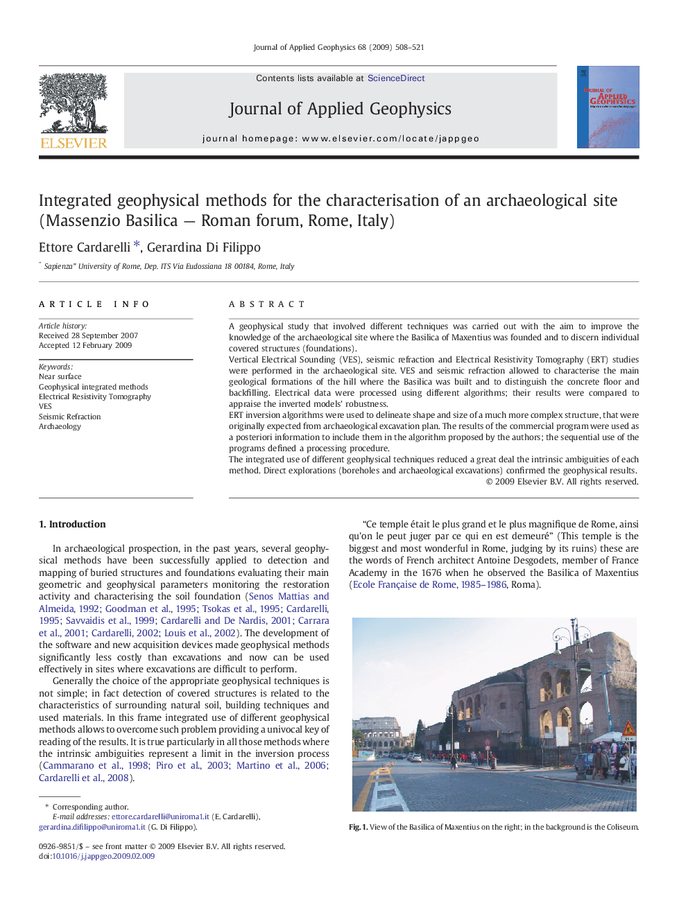
A geophysical study that involved different techniques was carried out with the aim to improve the knowledge of the archaeological site where the Basilica of Maxentius was founded and to discern individual covered structures (foundations).Vertical Electrical Sounding (VES), seismic refraction and Electrical Resistivity Tomography (ERT) studies were performed in the archaeological site. VES and seismic refraction allowed to characterise the main geological formations of the hill where the Basilica was built and to distinguish the concrete floor and backfilling. Electrical data were processed using different algorithms; their results were compared to appraise the inverted models' robustness.ERT inversion algorithms were used to delineate shape and size of a much more complex structure, that were originally expected from archaeological excavation plan. The results of the commercial program were used as a posteriori information to include them in the algorithm proposed by the authors; the sequential use of the programs defined a processing procedure.The integrated use of different geophysical techniques reduced a great deal the intrinsic ambiguities of each method. Direct explorations (boreholes and archaeological excavations) confirmed the geophysical results.
