| Article ID | Journal | Published Year | Pages | File Type |
|---|---|---|---|---|
| 4764973 | Data in Brief | 2017 | 7 Pages |
Abstract
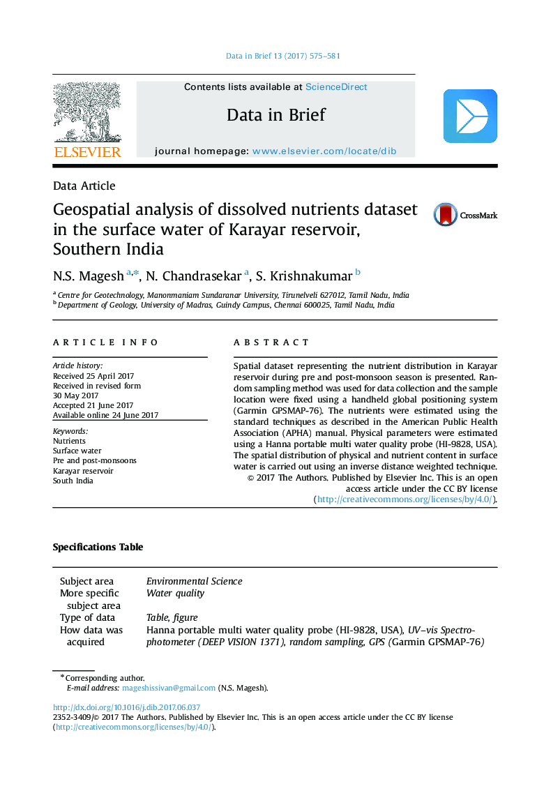
Spatial dataset representing the nutrient distribution in Karayar reservoir during pre and post-monsoon season is presented. Random sampling method was used for data collection and the sample location were fixed using a handheld global positioning system (Garmin GPSMAP-76). The nutrients were estimated using the standard techniques as described in the American Public Health Association (APHA) manual. Physical parameters were estimated using a Hanna portable multi water quality probe (HI-9828, USA). The spatial distribution of physical and nutrient content in surface water is carried out using an inverse distance weighted technique.
Keywords
Related Topics
Physical Sciences and Engineering
Chemical Engineering
Chemical Engineering (General)
Authors
N.S. Magesh, N. Chandrasekar, S. Krishnakumar,
