| Article ID | Journal | Published Year | Pages | File Type |
|---|---|---|---|---|
| 6225758 | The Journal of Pediatrics | 2009 | 6 Pages |
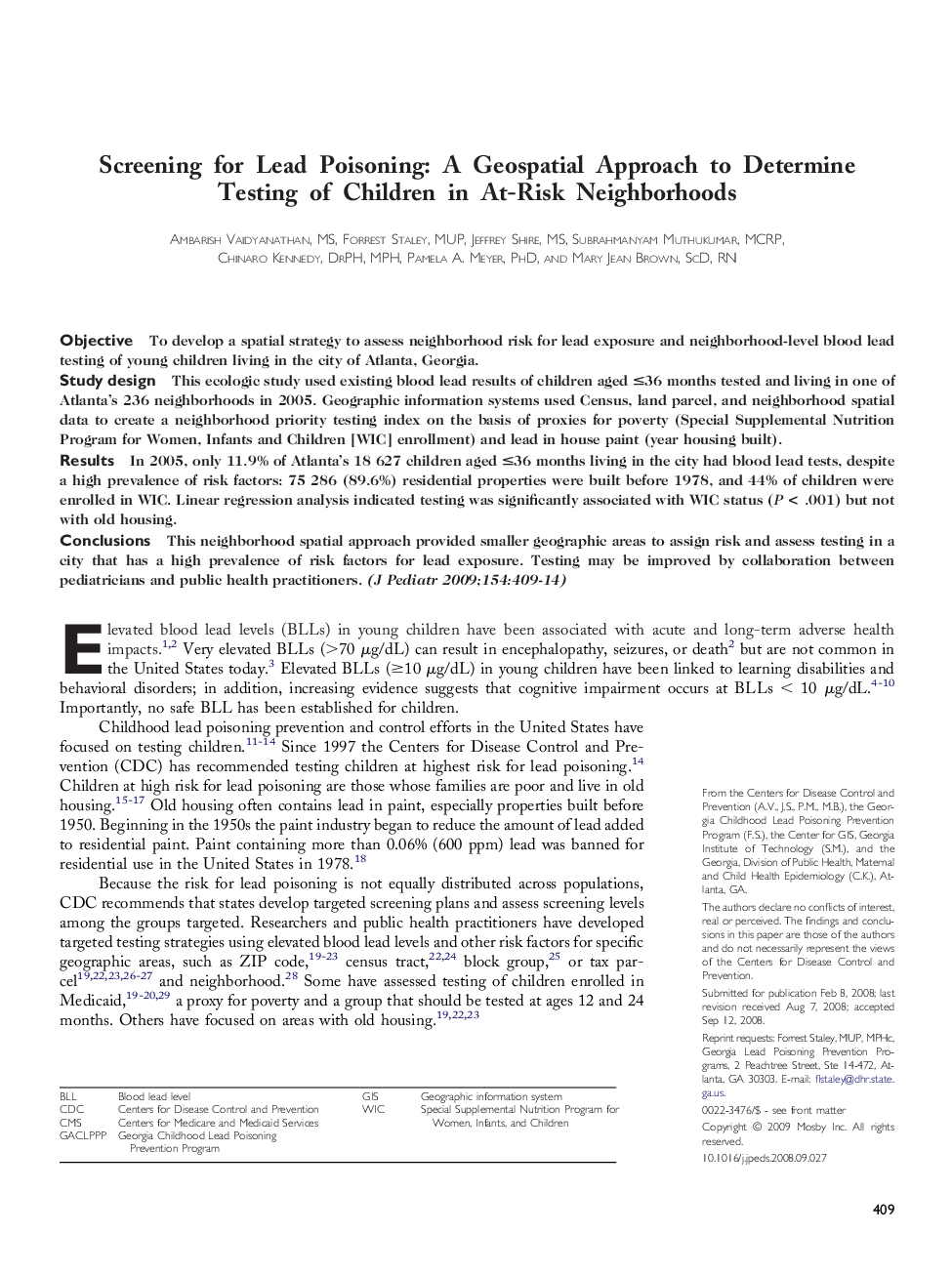
ObjectiveTo develop a spatial strategy to assess neighborhood risk for lead exposure and neighborhood-level blood lead testing of young children living in the city of Atlanta, Georgia.Study designThis ecologic study used existing blood lead results of children aged â¤36 months tested and living in one of Atlanta's 236 neighborhoods in 2005. Geographic information systems used Census, land parcel, and neighborhood spatial data to create a neighborhood priority testing index on the basis of proxies for poverty (Special Supplemental Nutrition Program for Women, Infants and Children [WIC] enrollment) and lead in house paint (year housing built).ResultsIn 2005, only 11.9% of Atlanta's 18 627 children aged â¤36 months living in the city had blood lead tests, despite a high prevalence of risk factors: 75 286 (89.6%) residential properties were built before 1978, and 44% of children were enrolled in WIC. Linear regression analysis indicated testing was significantly associated with WIC status (P < .001) but not with old housing.ConclusionsThis neighborhood spatial approach provided smaller geographic areas to assign risk and assess testing in a city that has a high prevalence of risk factors for lead exposure. Testing may be improved by collaboration between pediatricians and public health practitioners.
