• Daneshyari
  • Topics
    • Physical Sciences and Engineering
      Life Sciences
      Health Sciences
      Social Sciences and Humanities
Physical Sciences and Engineering Earth and Planetary Sciences Computers in Earth Sciences

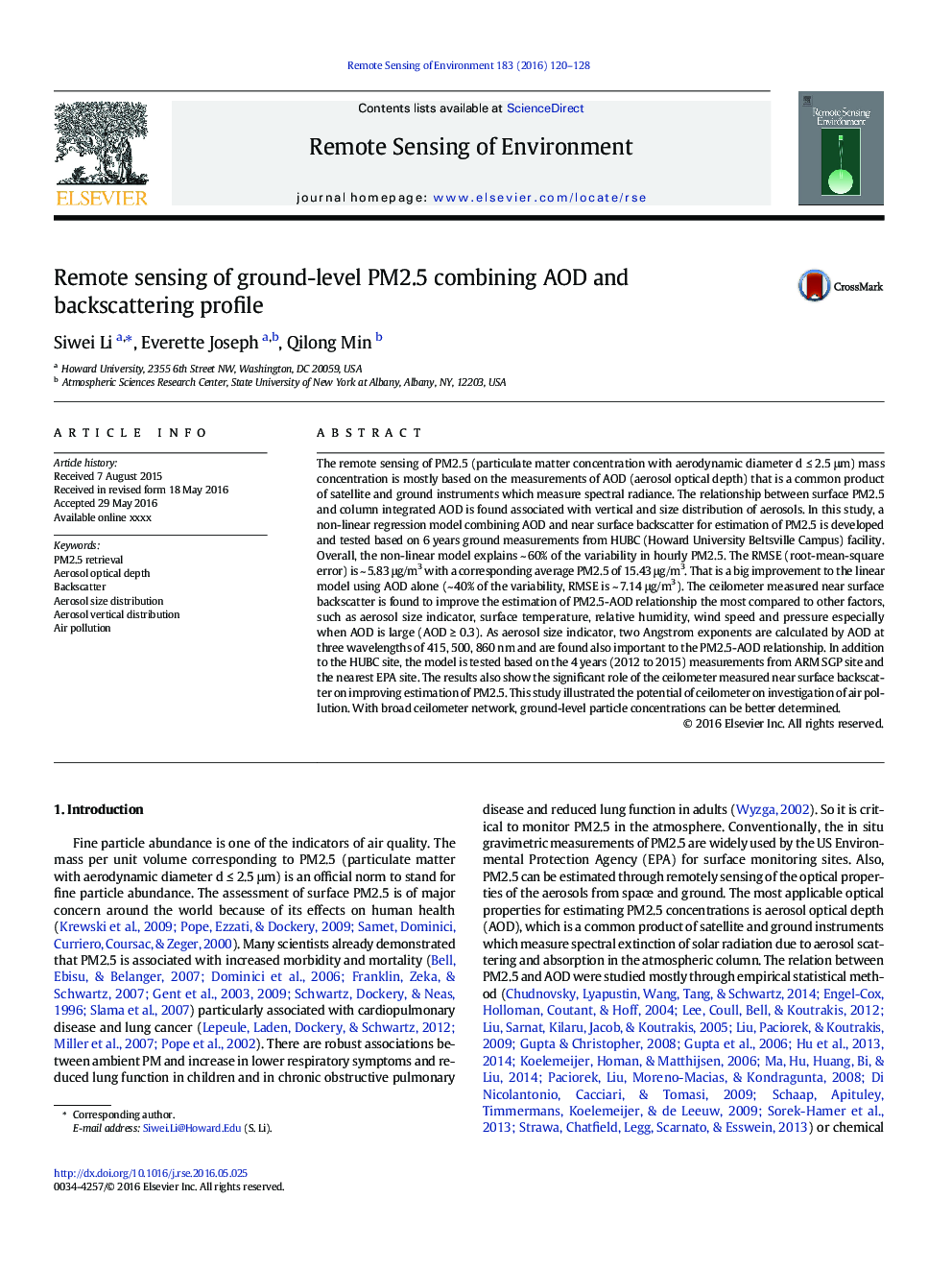
Remote sensing of ground-level PM2.5 combining AOD and backscattering profile

Article ID Journal Published Year Pages File Type
6344947 Remote Sensing of Environment 2016 9 Pages PDF
Keywords
Air pollutionAerosol size distributionAerosol vertical distributionAerosol optical depthBackscatter
Related Topics
Physical Sciences and Engineering Earth and Planetary Sciences Computers in Earth Sciences
Preview
Remote sensing of ground-level PM2.5 combining AOD and backscattering profile
Authors
Siwei Li, Everette Joseph, Qilong Min,
Related Articles
A GIS-based approach to identify the spatial variability of social vulnerability to seismic hazard in Italy
Climate change and surface mining: A review of environment-human interactions & their spatial dynamics
Assessing linkages between ecosystem services, land-use and well-being in an agroforestry landscape using public participation GIS
The role of fire as a long-term landscape modifier: Evidence from long-term fire observations (1922–2000) in Greece
Integrating resident digital sketch maps with expert knowledge to assess spatial knowledge of flood risk: A case study of participatory mapping in Newport Beach, California
Climate change effects at your doorstep: Geographic visualization to support Nordic homeowners in adapting to climate change
Renewable energy scenarios: Exploring technology, acceptance and climate – Options at the community-scale
Assessing the role of Mediterranean evergreen oaks canopy cover in land surface albedo and temperature using a remote sensing-based approach
Spatially-explicit reconstruction of 100 years of forest land use and disturbance on a coastal British Columbia Douglas-fir-dominated landscape: Implications for future watershed-scale carbon stock recovery
Applying geospatial tools to assess the agricultural value of Lower Illinois River floodplain levee districts
Journal
Remote Sensing of Environment
Journal: Remote Sensing of Environment
Related Categories
Air pollution
Aerosol size distribution
Aerosol vertical distribution
Aerosol optical depth
Backscatter
Atmospheric Science
Computers in Earth Sciences
Earth and Planetary Sciences (General)
Earth-Surface Processes
Economic Geology
Geochemistry and Petrology
Geology
Geophysics
Geotechnical Engineering and Engineering Geology
Oceanography
Palaeontology
Space and Planetary Science
Stratigraphy
Related Journals
Computers & Geosciences
ISPRS Journal of Photogrammetry and Remote Sensing
Remote Sensing Applications: Society and Environment
International Journal of Applied Earth Observation and Geoinformation
Daneshyari provides fulltext access to millions of research papers.