| Article ID | Journal | Published Year | Pages | File Type |
|---|---|---|---|---|
| 6352184 | Environmental Research | 2015 | 8 Pages |
Abstract
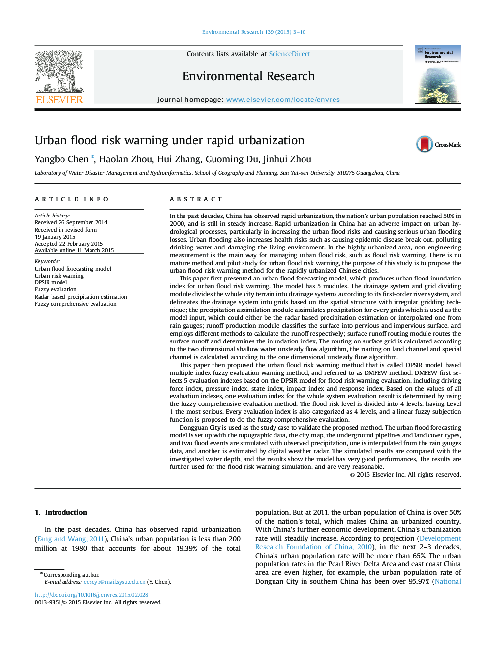
Dongguan City is used as the study case to validate the proposed method. The urban flood forecasting model is set up with the topographic data, the city map, the underground pipelines and land cover types, and two flood events are simulated with observed precipitation, one is interpolated from the rain gauges data, and another is estimated by digital weather radar. The simulated results are compared with the investigated water depth, and the results show the model has very good performances. The results are further used for the flood risk warning simulation, and are very reasonable.
Related Topics
Life Sciences
Environmental Science
Health, Toxicology and Mutagenesis
Authors
Yangbo Chen, Haolan Zhou, Hui Zhang, Guoming Du, Jinhui Zhou,
