| Article ID | Journal | Published Year | Pages | File Type |
|---|---|---|---|---|
| 711680 | IFAC Proceedings Volumes | 2008 | 4 Pages |
Abstract
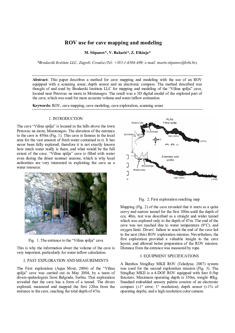
This paper describes a method for cave mapping and modeling with the use of an ROV equipped with a scanning sonar, depth sensor and an electronic compass. The method described was thought of and used by Brodarski Institute LLC for mapping and modeling of the “Vilina spilja” cave, located near Petrovac na moru in Montenegro. The result was a 3D digital model of the explored part of the cave, which was used for more accurate volume and water inflow estimation.
Related Topics
Physical Sciences and Engineering
Engineering
Computational Mechanics
