| Article ID | Journal | Published Year | Pages | File Type |
|---|---|---|---|---|
| 714292 | IFAC Proceedings Volumes | 2013 | 6 Pages |
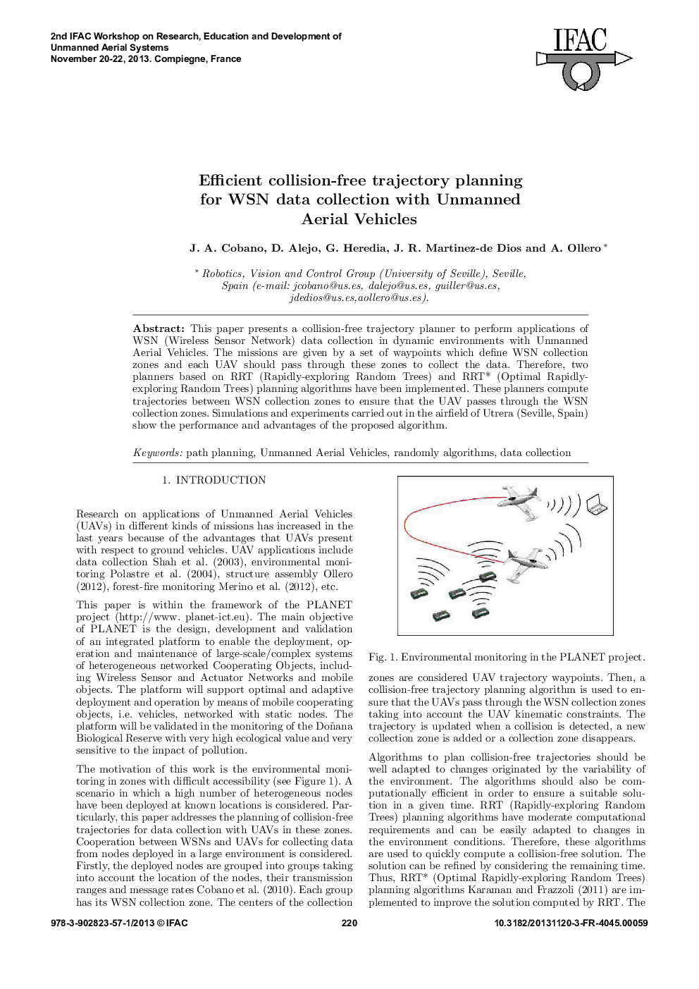
This paper presents a collision-free trajectory planner to perform applications of WSN (Wireless Sensor Network) data collection in dynamic environments with Unmanned Aerial Vehicles. The missions are given by a set of waypoints which define WSN collection zones and each UAV should pass through these zones to collect the data. Therefore, two planners based on RRT (Rapidly-exploring Random Trees) and RRT* (Optimal Rapidly-exploring Random Trees) planning algorithms have been implemented. These planners compute trajectories between WSN collection zones to ensure that the UAV passes through the WSN collection zones. Simulations and experiments carried out in the airfield of Utrera (Seville, Spain) show the performance and advantages of the proposed algorithm.
