| Article ID | Journal | Published Year | Pages | File Type |
|---|---|---|---|---|
| 8131588 | Advances in Space Research | 2018 | 8 Pages |
Abstract
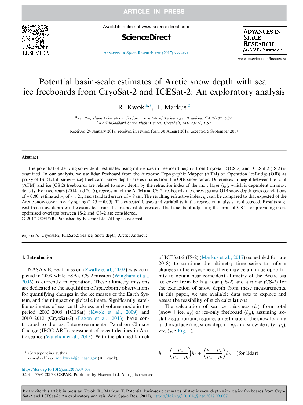
The potential of deriving snow depth estimates using differences in freeboard heights from CryoSat-2 (CS-2) and ICESat-2 (IS-2) is examined. In our analysis, we use lidar freeboard from the Airborne Topographic Mapper (ATM) on Operation IceBridge (OIB) as proxy of IS-2 total (snow + ice) freeboard. Snow depths are estimates from the OIB snow radar. Differences in height between the total (ATM) and ice (CS-2) freeboards are related to snow depth by the refractive index of the snow layer (ηs), which is dependent on snow density. For two years (2014 and 2015), regression of the ATM and CS-2 freeboard differences against OIB snow depth gives correlations of â¼0.80, estimated ηs of â¼1.21, and standard errors of â¼8 cm. The resulting refractive index, ηs, can be compared to that expected of the Arctic snow cover in early spring (1.25 ± 0.05). The expected biases and variability in the regression analysis are discussed. Results suggest that snow depth can be estimated from the freeboard differences. The benefits of adjusting the orbit of CS-2 for providing more optimized overlaps between IS-2 and CS-2 are considered.
Related Topics
Physical Sciences and Engineering
Earth and Planetary Sciences
Space and Planetary Science
Authors
R. Kwok, T. Markus,
