| Article ID | Journal | Published Year | Pages | File Type |
|---|---|---|---|---|
| 9450236 | Journal of Great Lakes Research | 2005 | 12 Pages |
Abstract
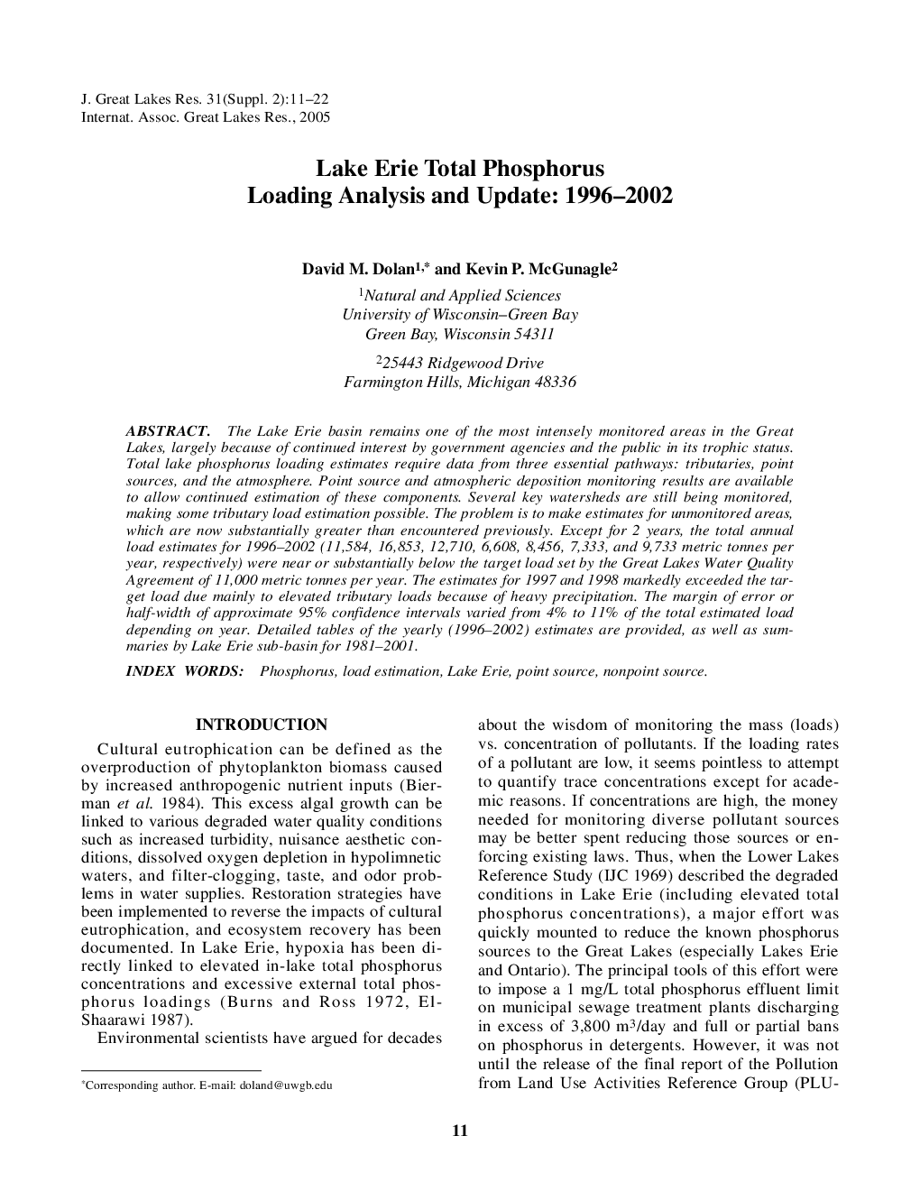
The Lake Erie basin remains one of the most intensely monitored areas in the Great Lakes, largely because of continued interest by government agencies and the public in its trophic status. Total lake phosphorus loading estimates require data from three essential pathways: tributaries, point sources, and the atmosphere. Point source and atmospheric deposition monitoring results are available to allow continued estimation of these components. Several key watersheds are still being monitored, making some tributary load estimation possible. The problem is to make estimates for unmonitored areas, which are now substantially greater than encountered previously. Except for 2 years, the total annual load estimates for 1996-2002 (11,584, 16,853, 12,710, 6,608, 8,456, 7,333, and 9,733 metric tonnes per year, respectively) were near or substantially below the target load set by the Great Lakes Water Quality Agreement of 11,000 metric tonnes per year. The estimates for 1997 and 1998 markedly exceeded the target load due mainly to elevated tributary loads because of heavy precipitation. The margin of error or half-width of approximate 95% confidence intervals varied from 4% to 11% of the total estimated load depending on year. Detailed tables of the yearly (1996-2002) estimates are provided, as well as summaries by Lake Erie sub-basin for 1981-2001.
Related Topics
Physical Sciences and Engineering
Earth and Planetary Sciences
Earth and Planetary Sciences (General)
Authors
David M. Dolan, Kevin P. McGunagle,
