| Article ID | Journal | Published Year | Pages | File Type |
|---|---|---|---|---|
| 9490424 | Geoderma | 2005 | 13 Pages |
Abstract
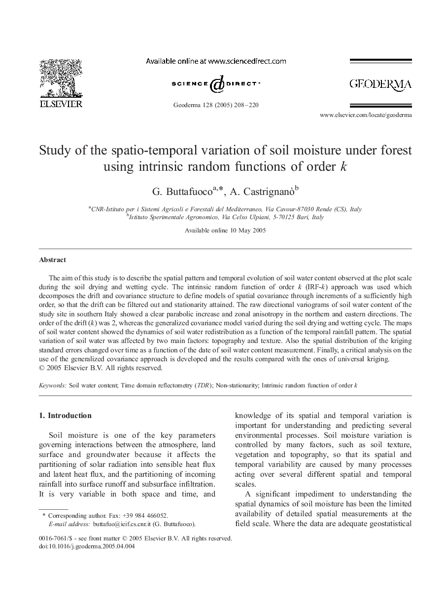
The aim of this study is to describe the spatial pattern and temporal evolution of soil water content observed at the plot scale during the soil drying and wetting cycle. The intrinsic random function of order k (IRF-k) approach was used which decomposes the drift and covariance structure to define models of spatial covariance through increments of a sufficiently high order, so that the drift can be filtered out and stationarity attained. The raw directional variograms of soil water content of the study site in southern Italy showed a clear parabolic increase and zonal anisotropy in the northern and eastern directions. The order of the drift (k) was 2, whereas the generalized covariance model varied during the soil drying and wetting cycle. The maps of soil water content showed the dynamics of soil water redistribution as a function of the temporal rainfall pattern. The spatial variation of soil water was affected by two main factors: topography and texture. Also the spatial distribution of the kriging standard errors changed over time as a function of the date of soil water content measurement. Finally, a critical analysis on the use of the generalized covariance approach is developed and the results compared with the ones of universal kriging.
Related Topics
Physical Sciences and Engineering
Earth and Planetary Sciences
Earth-Surface Processes
Authors
G. Buttafuoco, A. Castrignanò,
