| Article ID | Journal | Published Year | Pages | File Type |
|---|---|---|---|---|
| 9524840 | Geomorphology | 2005 | 22 Pages |
Abstract
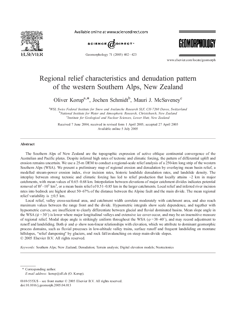
Local relief, valley cross-sectional area, and catchment width correlate moderately with catchment area, and also reach maximum values between the range front and the divide. Hypsometric integrals show scale dependence, and together with hypsometric curves, are insufficient to clearly differentiate between glacial and fluvial dominated basins. Mean slope angle in the WSA (Ï = 30°) is lower where major longitudinal valleys and extensive ice cover occur, and may be an insensitive measure of regional relief. Modal slope angle is strikingly uniform throughout the WSA (Ï = 38-40°), and may record adjustment to runoff and landsliding. Both Ï and Ï show non-linear relationships with elevation, which we attribute to dominant geomorphic process domains, such as fluvial processes in low-altitude valley trains, surface runoff and frequent landsliding on montane hillslopes, “relief dampening” by glaciers, and rock fall/avalanching on steep main-divide slopes.
Related Topics
Physical Sciences and Engineering
Earth and Planetary Sciences
Earth-Surface Processes
Authors
Oliver Korup, Jochen Schmidt, Mauri J. McSaveney,
