| Article ID | Journal | Published Year | Pages | File Type |
|---|---|---|---|---|
| 9524861 | Geomorphology | 2005 | 17 Pages |
Abstract
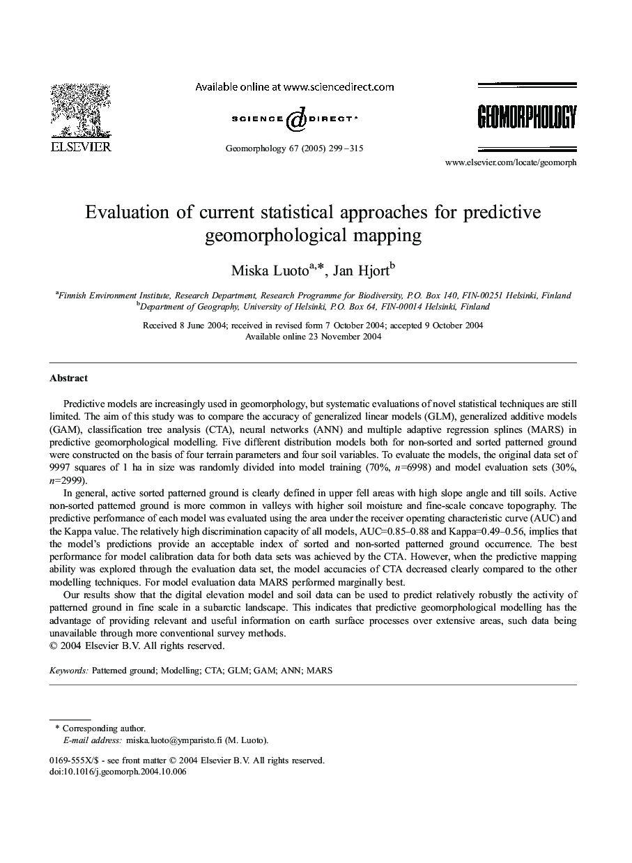
Our results show that the digital elevation model and soil data can be used to predict relatively robustly the activity of patterned ground in fine scale in a subarctic landscape. This indicates that predictive geomorphological modelling has the advantage of providing relevant and useful information on earth surface processes over extensive areas, such data being unavailable through more conventional survey methods.
Related Topics
Physical Sciences and Engineering
Earth and Planetary Sciences
Earth-Surface Processes
Authors
Luoto Miska, Hjort Jan,
