| Article ID | Journal | Published Year | Pages | File Type |
|---|---|---|---|---|
| 9822893 | Biosystems Engineering | 2005 | 10 Pages |
Abstract
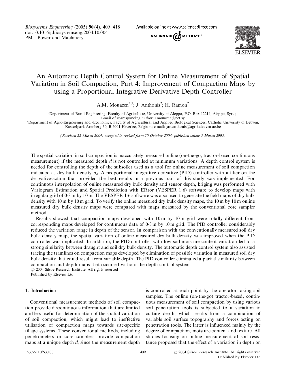
Results showed that compaction maps developed with 10 m by 10 m grid were totally different from corresponding maps developed for continuous data of 0·3 m by 10 m grid. The PID controller considerably reduced the variation range in depth of the sensor. In comparison with the conventionally measured soil dry bulk density map, the spatial variation of online measured dry bulk density was improved when the PID controller was implicated. In addition, the PID controller with low soil moisture content variation led to a strong similarity between draught and soil dry bulk density. The automatic depth control system also assisted tracing the tramlines on compaction maps developed by elimination of possible variation in measured soil dry bulk density that could result from variable depth. The PID controller eliminated a partial similarity between compaction and depth maps that occurred without the depth control system.
Related Topics
Physical Sciences and Engineering
Engineering
Control and Systems Engineering
Authors
A.M. Mouazen, J. Anthonis, H. Ramon,
