| Article ID | Journal | Published Year | Pages | File Type |
|---|---|---|---|---|
| 8866963 | Remote Sensing of Environment | 2017 | 11 Pages |
Abstract
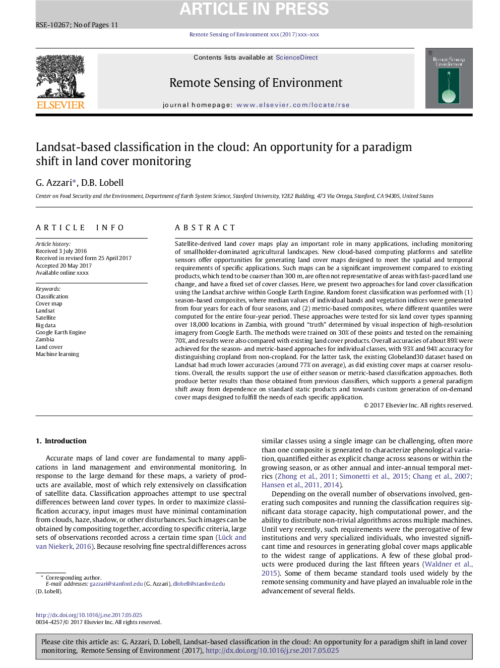
Satellite-derived land cover maps play an important role in many applications, including monitoring of smallholder-dominated agricultural landscapes. New cloud-based computing platforms and satellite sensors offer opportunities for generating land cover maps designed to meet the spatial and temporal requirements of specific applications. Such maps can be a significant improvement compared to existing products, which tend to be coarser than 300Â m, are often not representative of areas with fast-paced land use change, and have a fixed set of cover classes. Here, we present two approaches for land cover classification using the Landsat archive within Google Earth Engine. Random forest classification was performed with (1) season-based composites, where median values of individual bands and vegetation indices were generated from four years for each of four seasons, and (2) metric-based composites, where different quantiles were computed for the entire four-year period. These approaches were tested for six land cover types spanning over 18,000 locations in Zambia, with ground “truth” determined by visual inspection of high-resolution imagery from Google Earth. The methods were trained on 30% of these points and tested on the remaining 70%, and results were also compared with existing land cover products. Overall accuracies of about 89% were achieved for the season- and metric-based approaches for individual classes, with 93% and 94% accuracy for distinguishing cropland from non-cropland. For the latter task, the existing Globeland30 dataset based on Landsat had much lower accuracies (around 77% on average), as did existing cover maps at coarser resolutions. Overall, the results support the use of either season or metric-based classification approaches. Both produce better results than those obtained from previous classifiers, which supports a general paradigm shift away from dependence on standard static products and towards custom generation of on-demand cover maps designed to fulfill the needs of each specific application.
Related Topics
Physical Sciences and Engineering
Earth and Planetary Sciences
Computers in Earth Sciences
Authors
G. Azzari, D.B. Lobell,
