| Article ID | Journal | Published Year | Pages | File Type |
|---|---|---|---|---|
| 7461526 | Landscape and Urban Planning | 2014 | 13 Pages |
Abstract
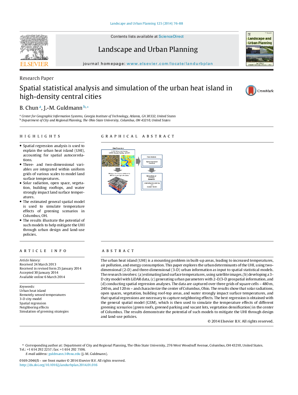
- Spatial regression analysis is used to explain the urban heat island (UHI), accounting for spatial autocorrelations.
- Three- and two-dimensional variables are integrated within uniform grids of various scales to model land surface temperatures.
- Solar radiation, open space, vegetation, building rooftops, and water strongly impact land surface temperatures.
- The estimated general spatial model is used to simulate temperature effects of greening scenarios in Columbus, OH.
- The results illustrate the potential of such models to help mitigate the UHI through urban design and land-use policies.
Keywords
Related Topics
Life Sciences
Agricultural and Biological Sciences
Ecology, Evolution, Behavior and Systematics
Authors
B. Chun, J.-M. Guldmann,
