| کد مقاله | کد نشریه | سال انتشار | مقاله انگلیسی | نسخه تمام متن |
|---|---|---|---|---|
| 4428311 | 1619739 | 2016 | 12 صفحه PDF | دانلود رایگان |
• RCMs reveal increase in temperature & decrease in precipitation in the Mediterranean
• Climate change increases drought risk in the Gaza Strip
• Remotely sensed evapotranspiration used for parameterization and validation of WaSiM
• Future evapotranspiration index can be used as a robust indicator for drought risk
• Agricultural productivity cannot be maintained without adapting irrigation management
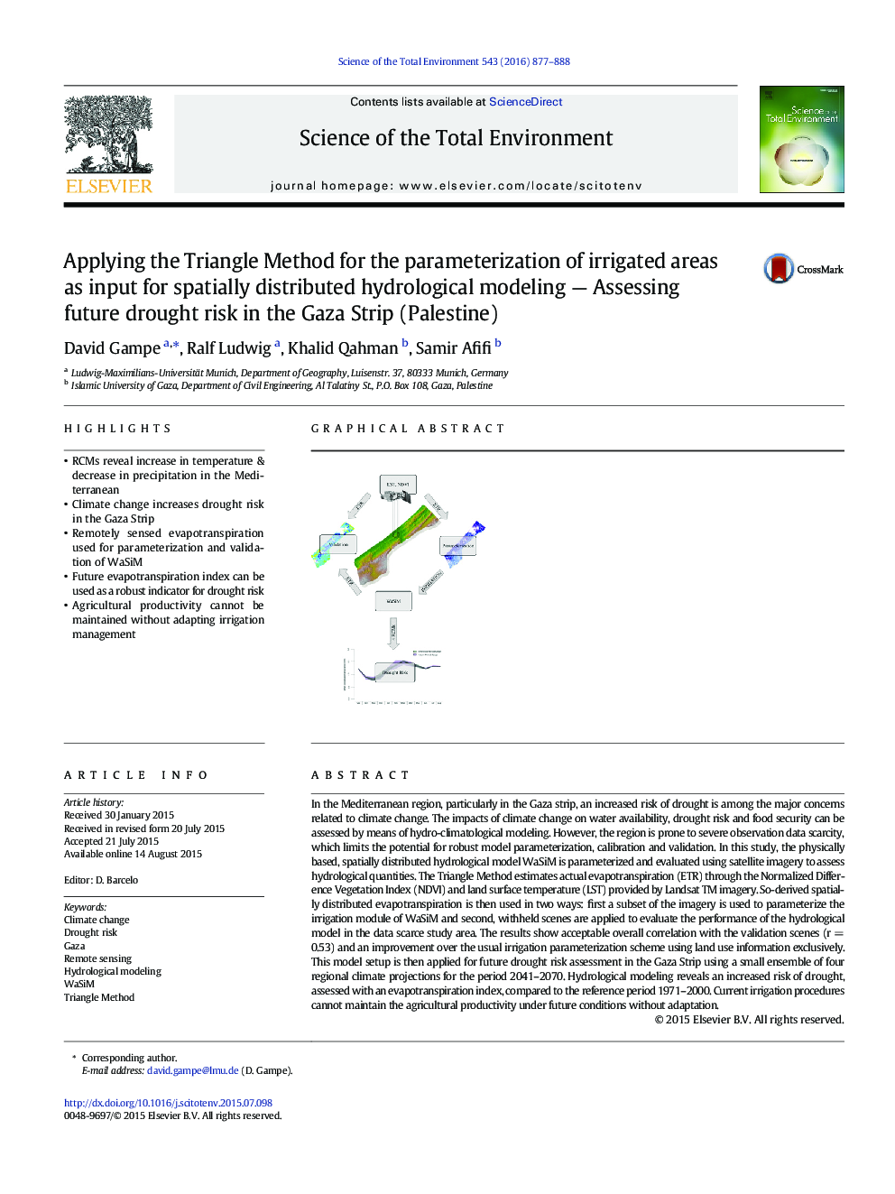
In the Mediterranean region, particularly in the Gaza strip, an increased risk of drought is among the major concerns related to climate change. The impacts of climate change on water availability, drought risk and food security can be assessed by means of hydro-climatological modeling. However, the region is prone to severe observation data scarcity, which limits the potential for robust model parameterization, calibration and validation. In this study, the physically based, spatially distributed hydrological model WaSiM is parameterized and evaluated using satellite imagery to assess hydrological quantities. The Triangle Method estimates actual evapotranspiration (ETR) through the Normalized Difference Vegetation Index (NDVI) and land surface temperature (LST) provided by Landsat TM imagery. So-derived spatially distributed evapotranspiration is then used in two ways: first a subset of the imagery is used to parameterize the irrigation module of WaSiM and second, withheld scenes are applied to evaluate the performance of the hydrological model in the data scarce study area. The results show acceptable overall correlation with the validation scenes (r = 0.53) and an improvement over the usual irrigation parameterization scheme using land use information exclusively. This model setup is then applied for future drought risk assessment in the Gaza Strip using a small ensemble of four regional climate projections for the period 2041–2070. Hydrological modeling reveals an increased risk of drought, assessed with an evapotranspiration index, compared to the reference period 1971–2000. Current irrigation procedures cannot maintain the agricultural productivity under future conditions without adaptation.
Figure optionsDownload as PowerPoint slide
Journal: Science of The Total Environment - Volume 543, Part B, 1 February 2016, Pages 877–888
