| کد مقاله | کد نشریه | سال انتشار | مقاله انگلیسی | نسخه تمام متن |
|---|---|---|---|---|
| 10113979 | 1621183 | 2018 | 11 صفحه PDF | دانلود رایگان |
عنوان انگلیسی مقاله ISI
Short-lived ice speed-up and plume water flow captured by a VTOL UAV give insights into subglacial hydrological system of Bowdoin Glacier
دانلود مقاله + سفارش ترجمه
دانلود مقاله ISI انگلیسی
رایگان برای ایرانیان
کلمات کلیدی
موضوعات مرتبط
مهندسی و علوم پایه
علوم زمین و سیارات
کامپیوتر در علوم زمین
پیش نمایش صفحه اول مقاله

چکیده انگلیسی
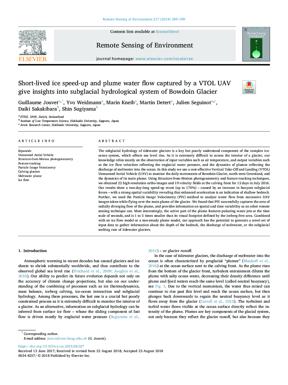
The subglacial hydrology of tidewater glaciers is a key but poorly understood component of the complex ice-ocean system, which affects sea level rise. As it is extremely difficult to access the interior of a glacier, our knowledge relies mostly on the observation of input variables such as air temperature, and output variables such as the ice flow velocities reflecting the englacial water pressure, and the dynamics of plumes reflecting the discharge of meltwater into the ocean. In this study we use a cost-effective Vertical Take-Off and Landing (VTOL) Unmanned Aerial Vehicle (UAV) to monitor the daily movements of Bowdoin Glacier, north-west Greenland, and the dynamics of its main plume. Using Structure-from-Motion photogrammetry and feature-tracking techniques, we obtained 22 high-resolution ortho-images and 19 velocity fields at the calving front for 12â¯days in July 2016. Our results show a two-day-long speed-up event (up to 170%) - caused by an increase in buoyant subglacial forces - with a strong spatial variability revealing that enhanced acceleration is an indication of shallow bedrock. Further, we used the Particle Image Velocimetry (PIV) method to analyze water flow from successive UAV images taken while flying over the main plume of the glacier. We found that PIV successfully captures the area of radially diverging flow of the plume, and provides information on spatial and time variability as no other remote sensing technique can. Most interestingly, the active part of the plume features pulsating water jets at the time scale of seconds, and is 1 to 5 times smaller than its visual footprint defined by the iceberg-free area. Combined with an ice flow model or a non-steady plume model, our approach has the potential to generate a novel set of input data to gather information about the depth of the bedrock, the discharge of meltwater, or the subglacial melting rate of tidewater glaciers.
ناشر
Database: Elsevier - ScienceDirect (ساینس دایرکت)
Journal: Remote Sensing of Environment - Volume 217, November 2018, Pages 389-399
Journal: Remote Sensing of Environment - Volume 217, November 2018, Pages 389-399
نویسندگان
Guillaume Jouvet, Yvo Weidmann, Marin Kneib, Martin Detert, Julien Seguinot, Daiki Sakakibara, Shin Sugiyama,