| کد مقاله | کد نشریه | سال انتشار | مقاله انگلیسی | نسخه تمام متن |
|---|---|---|---|---|
| 506755 | 864967 | 2007 | 17 صفحه PDF | دانلود رایگان |

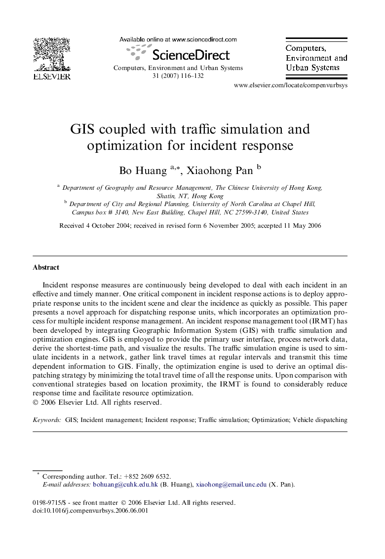
Incident response measures are continuously being developed to deal with each incident in an effective and timely manner. One critical component in incident response actions is to deploy appropriate response units to the incident scene and clear the incidence as quickly as possible. This paper presents a novel approach for dispatching response units, which incorporates an optimization process for multiple incident response management. An incident response management tool (IRMT) has been developed by integrating Geographic Information System (GIS) with traffic simulation and optimization engines. GIS is employed to provide the primary user interface, process network data, derive the shortest-time path, and visualize the results. The traffic simulation engine is used to simulate incidents in a network, gather link travel times at regular intervals and transmit this time dependent information to GIS. Finally, the optimization engine is used to derive an optimal dispatching strategy by minimizing the total travel time of all the response units. Upon comparison with conventional strategies based on location proximity, the IRMT is found to considerably reduce response time and facilitate resource optimization.
Journal: Computers, Environment and Urban Systems - Volume 31, Issue 2, March 2007, Pages 116–132