| کد مقاله | کد نشریه | سال انتشار | مقاله انگلیسی | نسخه تمام متن |
|---|---|---|---|---|
| 6321124 | 1619722 | 2016 | 18 صفحه PDF | دانلود رایگان |

- Groundwater recharge should be estimated with reliable accuracy in semiarid areas.
- Using different estimation methods helped constrain values and reduce uncertainty.
- Local estimates are consistent with regional distribution of average recharge.
- Uncertainty estimations provide confidence to the use of recharge estimates.
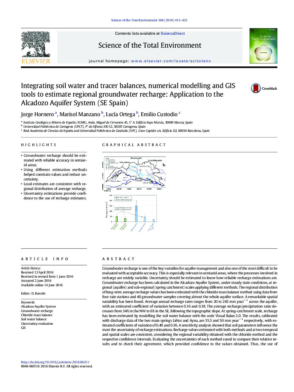
Groundwater recharge is one of the key variables for aquifer management and also one of the most difficult to be evaluated with acceptable accuracy. This is especially relevant in semiarid areas, where the processes involved in recharge are widely variable. Uncertainty should be estimated to know how reliable recharge estimations are. Groundwater recharge has been calculated in the Alcadozo Aquifer System, under steady state conditions, at regional (aquifer) and sub-regional (spring catchment) scales applying different methods. The regional distribution of long-term average recharge values has been estimated with the chloride mass balance method using data from four rain stations and 40 groundwater samples covering almost the whole aquifer surface. A remarkable spatial variability has been found. Average annual recharge rates ranges from 20 to 243 mm yearâ 1 across the aquifer, with an estimated coefficient of variation between 0.16 and 0.38. The average recharge/precipitation ratio decreases from 34% in the NW to 6% in the SE, following the topographic slope. At spring-catchment scale, recharge has been estimated by modelling the soil water balance with the code Visual Balan 2.0. The results, calibrated with discharge data of the two main springs Liétor and Ayna, are 35.5 and 50 mm yearâ 1 respectively, with estimated coefficients of variation of 0.49 and 0.36. A sensitivity analysis showed that soil parameters influence the most the uncertainty of recharge estimations. Recharge values estimated with both methods and at two temporal and spatial scales are consistent, considering the regional variability obtained with the chloride method and the respective confidence intervals. Evaluating the uncertainties of each method eased to compare their relative results and to check their agreement, which provided confidence to the values obtained. Thus, the use of independent methods together with their uncertainties is strongly recommended to constrain the magnitude and to provide reliance to recharge estimations.
155
Journal: Science of The Total Environment - Volume 568, 15 October 2016, Pages 415-432