| کد مقاله | کد نشریه | سال انتشار | مقاله انگلیسی | نسخه تمام متن |
|---|---|---|---|---|
| 6345612 | 1621225 | 2016 | 10 صفحه PDF | دانلود رایگان |
عنوان انگلیسی مقاله ISI
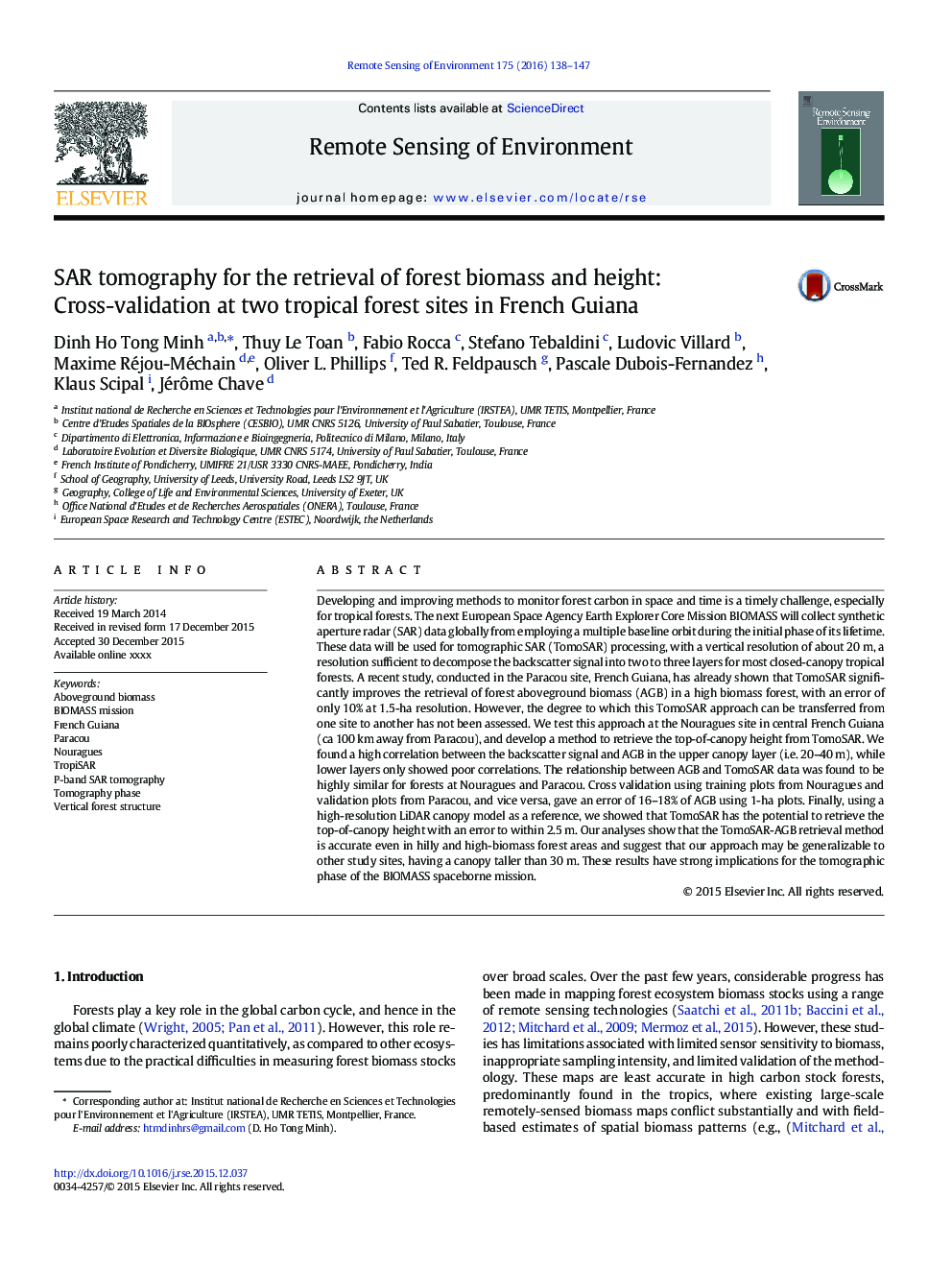
SAR tomography for the retrieval of forest biomass and height: Cross-validation at two tropical forest sites in French Guiana
دانلود مقاله + سفارش ترجمه
دانلود مقاله ISI انگلیسی
رایگان برای ایرانیان
موضوعات مرتبط
مهندسی و علوم پایه
علوم زمین و سیارات
کامپیوتر در علوم زمین
پیش نمایش صفحه اول مقاله

چکیده انگلیسی
Developing and improving methods to monitor forest carbon in space and time is a timely challenge, especially for tropical forests. The next European Space Agency Earth Explorer Core Mission BIOMASS will collect synthetic aperture radar (SAR) data globally from employing a multiple baseline orbit during the initial phase of its lifetime. These data will be used for tomographic SAR (TomoSAR) processing, with a vertical resolution of about 20Â m, a resolution sufficient to decompose the backscatter signal into two to three layers for most closed-canopy tropical forests. A recent study, conducted in the Paracou site, French Guiana, has already shown that TomoSAR significantly improves the retrieval of forest aboveground biomass (AGB) in a high biomass forest, with an error of only 10% at 1.5-ha resolution. However, the degree to which this TomoSAR approach can be transferred from one site to another has not been assessed. We test this approach at the Nouragues site in central French Guiana (ca 100Â km away from Paracou), and develop a method to retrieve the top-of-canopy height from TomoSAR. We found a high correlation between the backscatter signal and AGB in the upper canopy layer (i.e. 20-40Â m), while lower layers only showed poor correlations. The relationship between AGB and TomoSAR data was found to be highly similar for forests at Nouragues and Paracou. Cross validation using training plots from Nouragues and validation plots from Paracou, and vice versa, gave an error of 16-18% of AGB using 1-ha plots. Finally, using a high-resolution LiDAR canopy model as a reference, we showed that TomoSAR has the potential to retrieve the top-of-canopy height with an error to within 2.5Â m. Our analyses show that the TomoSAR-AGB retrieval method is accurate even in hilly and high-biomass forest areas and suggest that our approach may be generalizable to other study sites, having a canopy taller than 30Â m. These results have strong implications for the tomographic phase of the BIOMASS spaceborne mission.
ناشر
Database: Elsevier - ScienceDirect (ساینس دایرکت)
Journal: Remote Sensing of Environment - Volume 175, 15 March 2016, Pages 138-147
Journal: Remote Sensing of Environment - Volume 175, 15 March 2016, Pages 138-147
نویسندگان
Dinh Ho Tong Minh, Thuy Le Toan, Fabio Rocca, Stefano Tebaldini, Ludovic Villard, Maxime Réjou-Méchain, Oliver L. Phillips, Ted R. Feldpausch, Pascale Dubois-Fernandez, Klaus Scipal, Jérôme Chave,