| کد مقاله | کد نشریه | سال انتشار | مقاله انگلیسی | نسخه تمام متن |
|---|---|---|---|---|
| 6347257 | 1621270 | 2013 | 11 صفحه PDF | دانلود رایگان |
عنوان انگلیسی مقاله ISI
Monitoring flood extent in the lower Amazon River floodplain using ALOS/PALSAR ScanSAR images
دانلود مقاله + سفارش ترجمه
دانلود مقاله ISI انگلیسی
رایگان برای ایرانیان
کلمات کلیدی
موضوعات مرتبط
مهندسی و علوم پایه
علوم زمین و سیارات
کامپیوتر در علوم زمین
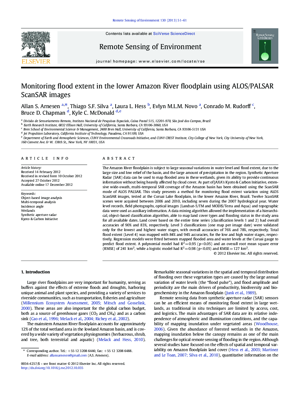
پیش نمایش صفحه اول مقاله

چکیده انگلیسی
⺠Flood extent was monitored from 2007 to 2010 for a lake in the Lower Amazon Floodplain. ⺠PALSAR ScanSAR, TM and MODIS images were combined using object-based image analysis. ⺠Final mapping accuracy was ~ 76% for land cover and ~ 90% for flood status. ⺠Logistic models predicted flooded area better than polynomial or simple regressions. ⺠The present method could be used to monitor flood extent for the entire Amazon.
ناشر
Database: Elsevier - ScienceDirect (ساینس دایرکت)
Journal: Remote Sensing of Environment - Volume 130, 15 March 2013, Pages 51-61
Journal: Remote Sensing of Environment - Volume 130, 15 March 2013, Pages 51-61
نویسندگان
Allan S. Arnesen, Thiago S.F. Silva, Laura L. Hess, Evlyn M.L.M. Novo, Conrado M. Rudorff, Bruce D. Chapman, Kyle C. McDonald,