| کد مقاله | کد نشریه | سال انتشار | مقاله انگلیسی | نسخه تمام متن |
|---|---|---|---|---|
| 6407842 | 1629210 | 2016 | 12 صفحه PDF | دانلود رایگان |
عنوان انگلیسی مقاله ISI
Integration of the Statistical Index Method and the Analytic Hierarchy Process technique for the assessment of landslide susceptibility in Huizhou, China
دانلود مقاله + سفارش ترجمه
دانلود مقاله ISI انگلیسی
رایگان برای ایرانیان
کلمات کلیدی
موضوعات مرتبط
مهندسی و علوم پایه
علوم زمین و سیارات
فرآیندهای سطح زمین
پیش نمایش صفحه اول مقاله

چکیده انگلیسی
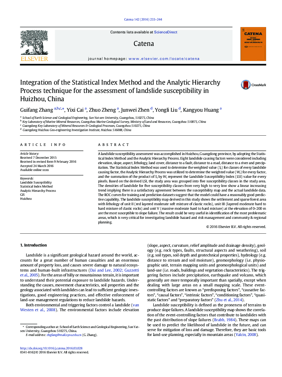
A landslide susceptibility assessment was accomplished in Huizhou, Guangdong province, by adopting the Statistical Index Method and the Analytic Hierarchy Process. Eight landslide causing factors were considered including elevation, slope, aspect, lithology, land cover, distance to a fault, distance to a road, distance to a river and precipitation. The Statistical Index Method was used to determine the weighted value (Si) for classes of every landslide causing factor, the Analytic Hierarchy Process was utilized to determine the weighted value (Wi) for every factor, and the summation of the product of Si by Wi represent the Landslide Susceptibility Index (LSI) value for every pixels. Based on the derived LSI, the study area was grouped into five susceptibility classes in the study area. The densities of landslide for five susceptibility classes from very high to very low show a linear increasing trend implying there is a satisfactory agreement between the susceptibility map and the actual landslide data. The ROC curves for training and prediction datasets suggest that the model could have a reasonably good predictive capability. The landslide susceptibility map derived in this study shows the settlement and sparse forest area with lithology of unit II (red layered moderate soft mixture of clastic rocks), unit III (layered moderate hard to hard mixture of clastic rocks) and unit V (massive moderate hard to hard mixture) at the elevation of 0-200Â m are the most susceptible to slope failure. The result could be very useful in identification of the most problematic areas, which is very critical for investigating landslide hazard and risk management and community & regional planning.
ناشر
Database: Elsevier - ScienceDirect (ساینس دایرکت)
Journal: CATENA - Volume 142, July 2016, Pages 233-244
Journal: CATENA - Volume 142, July 2016, Pages 233-244
نویسندگان
Guifang Zhang, Yixi Cai, Zhuo Zheng, Junwei Zhen, Yongli Liu, Kangyou Huang,