| کد مقاله | کد نشریه | سال انتشار | مقاله انگلیسی | نسخه تمام متن |
|---|---|---|---|---|
| 6772510 | 512782 | 2014 | 18 صفحه PDF | دانلود رایگان |
عنوان انگلیسی مقاله ISI
A GIS-based seismic hazard, building vulnerability and human loss assessment for the earthquake scenario in Tabriz
دانلود مقاله + سفارش ترجمه
دانلود مقاله ISI انگلیسی
رایگان برای ایرانیان
موضوعات مرتبط
مهندسی و علوم پایه
علوم زمین و سیارات
مهندسی ژئوتکنیک و زمین شناسی مهندسی
پیش نمایش صفحه اول مقاله

چکیده انگلیسی
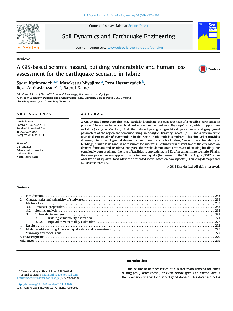
A GIS-oriented procedure that may partially illuminate the consequences of a possible earthquake is presented in two main steps (seismic microzonation and vulnerability steps) along with its application in Tabriz (a city in NW Iran). First, the detailed geological, geodetical, geotechnical and geophysical parameters of the region are combined using an Analytic Hierarchy Process (AHP) and a deterministic near-field earthquake of magnitude 7 in the North Tabriz Fault is simulated. This simulation provides differing intensities of ground shaking in the different districts of Tabriz. Second, the vulnerability of buildings, human losses and basic resources for survivors is estimated in district two of the city based on damage functions and relational analyses. The results demonstrate that 69.5% of existing buildings are completely destroyed, and the rate of fatalities is approximately 33% after a nighttime scenario. Finally, the same procedure was applied to an actual earthquake (first event on the 11th of August, 2012 of the Ahar twin earthquakes) to validate the presented model based on two aspects: (1) building damages and (2) seismic intensity.
ناشر
Database: Elsevier - ScienceDirect (ساینس دایرکت)
Journal: Soil Dynamics and Earthquake Engineering - Volume 66, November 2014, Pages 263-280
Journal: Soil Dynamics and Earthquake Engineering - Volume 66, November 2014, Pages 263-280
نویسندگان
Sadra Karimzadeh, Masakatsu Miyajima, Reza Hassanzadeh, Reza Amiraslanzadeh, Batoul Kamel,