| کد مقاله | کد نشریه | سال انتشار | مقاله انگلیسی | نسخه تمام متن |
|---|---|---|---|---|
| 6901128 | 1446492 | 2017 | 7 صفحه PDF | دانلود رایگان |
عنوان انگلیسی مقاله ISI
WebGIS for Asset Management of Land and Building of Madiun City Government
دانلود مقاله + سفارش ترجمه
دانلود مقاله ISI انگلیسی
رایگان برای ایرانیان
موضوعات مرتبط
مهندسی و علوم پایه
مهندسی کامپیوتر
علوم کامپیوتر (عمومی)
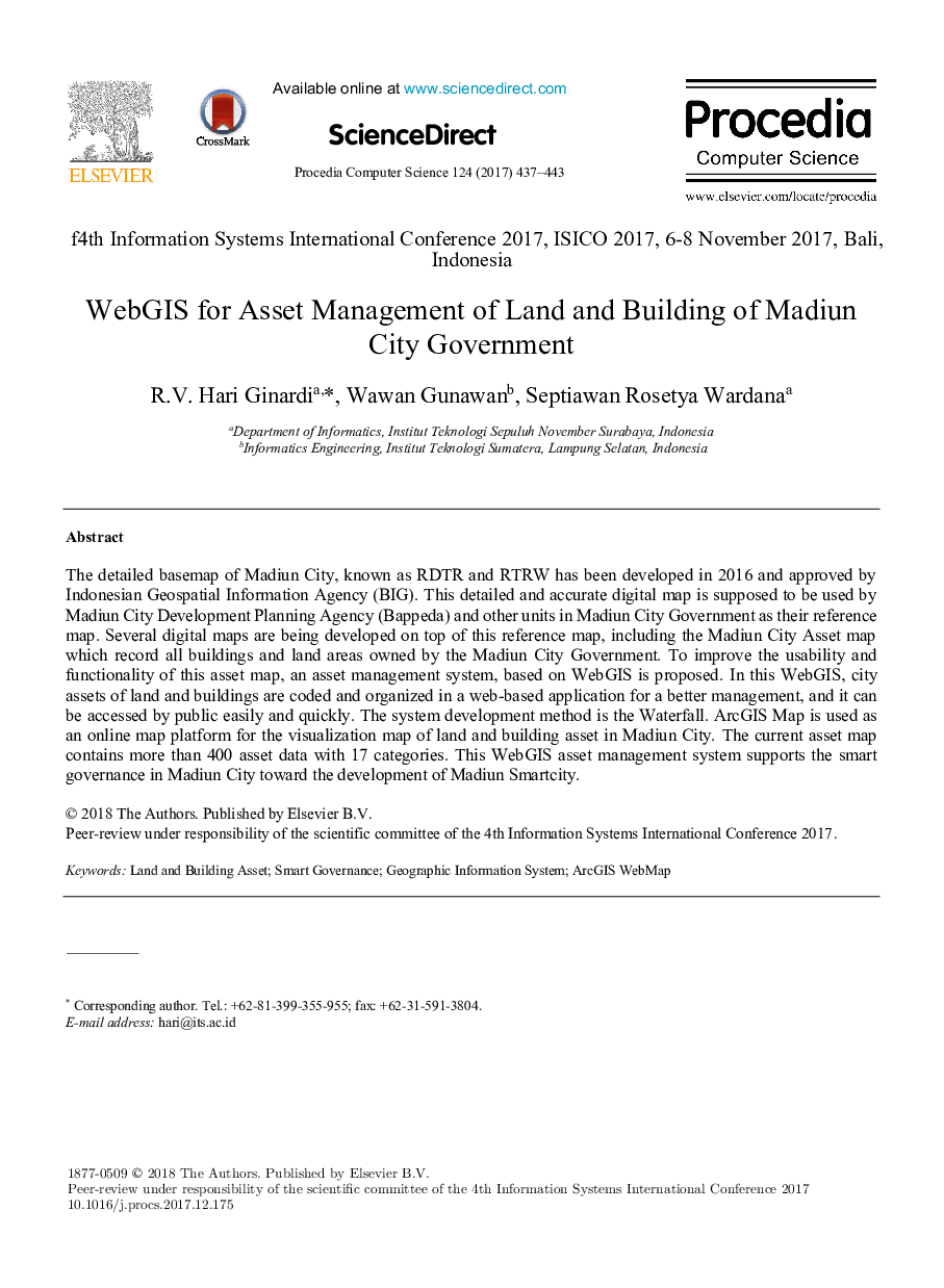
پیش نمایش صفحه اول مقاله

چکیده انگلیسی
The detailed basemap of Madiun City, known as RDTR and RTRW has been developed in 2016 and approved by Indonesian Geospatial Information Agency (BIG). This detailed and accurate digital map is supposed to be used by Madiun City Development Planning Agency (Bappeda) and other units in Madiun City Government as their reference map. Several digital maps are being developed on top of this reference map, including the Madiun City Asset map which record all buildings and land areas owned by the Madiun City Government. To improve the usability and functionality of this asset map, an asset management system, based on WebGIS is proposed. In this WebGIS, city assets of land and buildings are coded and organized in a web-based application for a better management, and it can be accessed by public easily and quickly. The system development method is the Waterfall. ArcGIS Map is used as an online map platform for the visualization map of land and building asset in Madiun City. The current asset map contains more than 400 asset data with 17 categories. This WebGIS asset management system supports the smart governance in Madiun City toward the development of Madiun Smartcity.
ناشر
Database: Elsevier - ScienceDirect (ساینس دایرکت)
Journal: Procedia Computer Science - Volume 124, 2017, Pages 437-443
Journal: Procedia Computer Science - Volume 124, 2017, Pages 437-443
نویسندگان
R.V. Hari Ginardi, Wawan Gunawan, Septiawan Rosetya Wardana,