| کد مقاله | کد نشریه | سال انتشار | مقاله انگلیسی | نسخه تمام متن |
|---|---|---|---|---|
| 7441957 | 1483903 | 2015 | 13 صفحه PDF | دانلود رایگان |
عنوان انگلیسی مقاله ISI
Evaluating airborne LiDAR for detecting settlements and modified landscapes in disturbed tropical environments at Uxbenká, Belize
دانلود مقاله + سفارش ترجمه
دانلود مقاله ISI انگلیسی
رایگان برای ایرانیان
موضوعات مرتبط
مهندسی و علوم پایه
مهندسی مواد
دانش مواد (عمومی)
پیش نمایش صفحه اول مقاله

چکیده انگلیسی
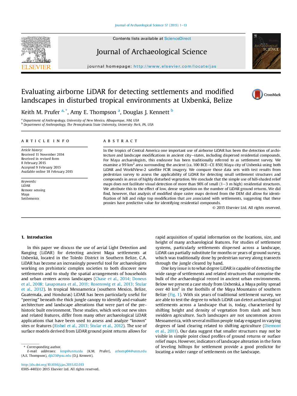
In the tropics of Central America one important use of airborne LiDAR has been the detection of architecture and landscape modifications in ancient city-states, including dispersed residential compounds. For Maya archaeologists, this endeavor has been traditionally referred to as settlement survey. We examine a 99Â km2 area surrounding the ancient (ca. 100 BCE-CE 850) Maya city of Uxbenká using both LiDAR and WorldView-2 satellite FCIR imagery. We compare those data sets with test results from pedestrian survey to assess the applicability of LiDAR for detecting small settlement structures and compounds in areas of highly disturbed vegetation. We conclude that the simple use of hill-shaded relief maps does not facilitate visual detection of more than 90% of small (1-3Â m high) residential structures. We attribute this to the effect of low, dense vegetation on the number of LiDAR ground returns. We did find, however, that analysis of modified slope raster maps derived from the DEM did allow for identification of hill and ridge top modification that are associated with settlements, suggesting that these proxies have predictive value for identifying residential compounds.
ناشر
Database: Elsevier - ScienceDirect (ساینس دایرکت)
Journal: Journal of Archaeological Science - Volume 57, May 2015, Pages 1-13
Journal: Journal of Archaeological Science - Volume 57, May 2015, Pages 1-13
نویسندگان
Keith M. Prufer, Amy E. Thompson, Douglas J. Kennett,