| کد مقاله | کد نشریه | سال انتشار | مقاله انگلیسی | نسخه تمام متن |
|---|---|---|---|---|
| 8877331 | 1624115 | 2018 | 6 صفحه PDF | دانلود رایگان |
عنوان انگلیسی مقاله ISI
Estimation of Rice Evapotranspiration Using Reflective Images of Landsat Satellite in Sefidrood Irrigation and Drainage Network
ترجمه فارسی عنوان
برآورد تبخیر برنج با استفاده از تصاویر بازتاب دهنده ماهواره لنست در شبکه آبیاری و زهکشی سپید
دانلود مقاله + سفارش ترجمه
دانلود مقاله ISI انگلیسی
رایگان برای ایرانیان
کلمات کلیدی
شاخص پوشش گیاهی لیزیمتر، داده های ماهواره ای، تبخیر تعرق، ضریب محصول، تصویر لندست،
موضوعات مرتبط
علوم زیستی و بیوفناوری
علوم کشاورزی و بیولوژیک
علوم کشاورزی و بیولوژیک (عمومی)
چکیده انگلیسی
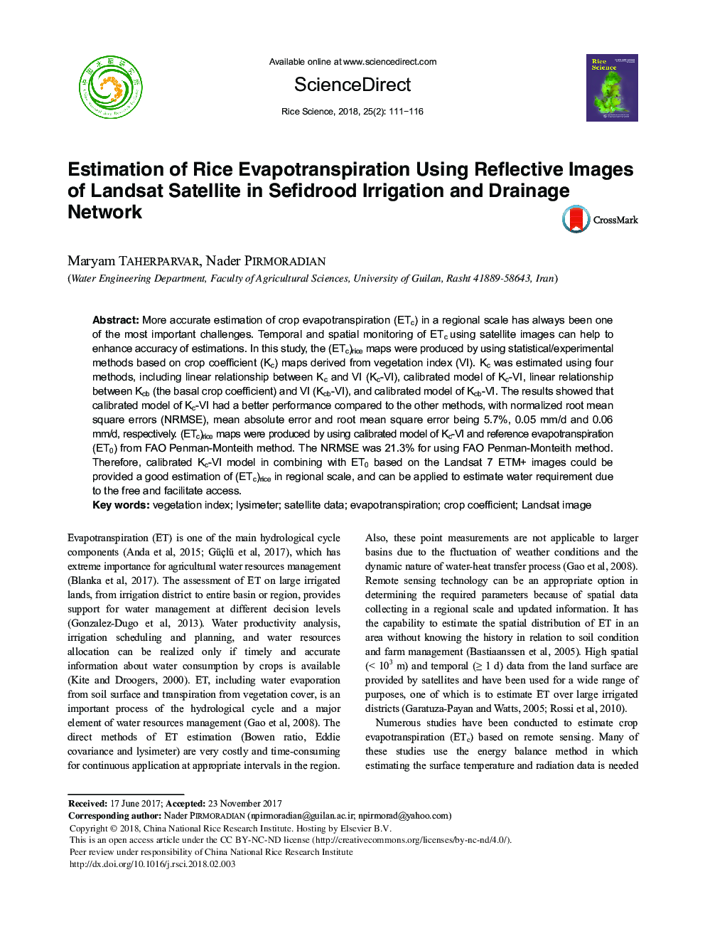
More accurate estimation of crop evapotranspiration (ETc) in a regional scale has always been one of the most important challenges. Temporal and spatial monitoring of ETc using satellite images can help to enhance accuracy of estimations. In this study, the (ETc)rice maps were produced by using statistical/experimental methods based on crop coefficient (Kc) maps derived from vegetation index (VI). Kc was estimated using four methods, including linear relationship between Kc and VI (Kc-VI), calibrated model of Kc-VI, linear relationship between Kcb (the basal crop coefficient) and VI (Kcb-VI), and calibrated model of Kcb-VI. The results showed that calibrated model of Kc-VI had a better performance compared to the other methods, with normalized root mean square errors (NRMSE), mean absolute error and root mean square error being 5.7%, 0.05 mm/d and 0.06 mm/d, respectively. (ETc)rice maps were produced by using calibrated model of Kc-VI and reference evapotranspiration (ET0) from FAO Penman-Monteith method. The NRMSE was 21.3% for using FAO Penman-Monteith method. Therefore, calibrated Kc-VI model in combining with ET0 based on the Landsat 7 ETM+ images could be provided a good estimation of (ETc)rice in regional scale, and can be applied to estimate water requirement due to the free and facilitate access.
ناشر
Database: Elsevier - ScienceDirect (ساینس دایرکت)
Journal: Rice Science - Volume 25, Issue 2, March 2018, Pages 111-116
Journal: Rice Science - Volume 25, Issue 2, March 2018, Pages 111-116
نویسندگان
Maryam Taherparvar, Nader Pirmoradian,
