| کد مقاله | کد نشریه | سال انتشار | مقاله انگلیسی | نسخه تمام متن |
|---|---|---|---|---|
| 8908044 | 1635340 | 2018 | 13 صفحه PDF | دانلود رایگان |
عنوان انگلیسی مقاله ISI
Interpretation of recent alpine landscape system evolution using geomorphic mapping and L-band InSAR analyses
دانلود مقاله + سفارش ترجمه
دانلود مقاله ISI انگلیسی
رایگان برای ایرانیان
کلمات کلیدی
موضوعات مرتبط
مهندسی و علوم پایه
علوم زمین و سیارات
فرآیندهای سطح زمین
پیش نمایش صفحه اول مقاله

چکیده انگلیسی
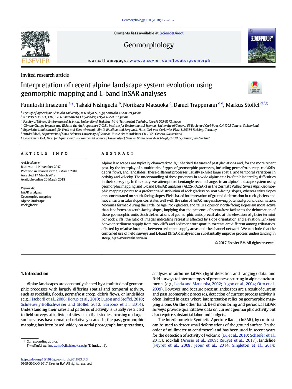
Alpine landscapes are typically characterized by inherited features of past glaciations and, for the more recent past, by the interplay of a multitude of types of geomorphic processes, including permafrost creep, rockfalls, debris flows, and landslides. These different processes usually exhibit large spatial and temporal variations in activity and velocity. The understanding of these processes in a wide alpine area is often hindered by difficulties in their surveying. In this study, we attempt to disentangle recent changes in an alpine landscape system using geomorphic mapping and L-band DInSAR analyses (ALOS-PALSAR) in the Zermatt Valley, Swiss Alps. Geomorphic mapping points to a preferential distribution of rock glaciers on north-facing slopes, whereas talus slopes are concentrated on south-facing slopes. Field-based interpretation of ground deformation in rock glaciers and movements in talus slopes correlates well with the ratio of InSAR images showing potential ground deformation. Moraines formed during the Little Ice Age, rock glaciers, and talus slopes on north-facing slopes are more active than landforms on south-facing slopes, implying that the presence of permafrost facilitates the deformation of these geomorphic units. Such deformations of geomorphic units prevail also at the elevation of glacier termini. For rock cliffs, the ratio of images indicating retreat is affected by slope orientation and elevation. Linkages between sediment supply from rock cliffs and sediment transport in torrents are different among tributaries, affected by relative locations between sediment supply areas and the channel network. We conclude that the combined use of field surveys and L-band DInSAR analyses can substantially improve process understanding in steep, high-mountain terrain.
ناشر
Database: Elsevier - ScienceDirect (ساینس دایرکت)
Journal: Geomorphology - Volume 310, 1 June 2018, Pages 125-137
Journal: Geomorphology - Volume 310, 1 June 2018, Pages 125-137
نویسندگان
Fumitoshi Imaizumi, Takaki Nishiguchi, Norikazu Matsuoka, Daniel Trappmann, Markus Stoffel,