| کد مقاله | کد نشریه | سال انتشار | مقاله انگلیسی | نسخه تمام متن |
|---|---|---|---|---|
| 9480846 | 1626719 | 2005 | 14 صفحه PDF | دانلود رایگان |
عنوان انگلیسی مقاله ISI
Sediment transport on the mid-continental shelf in Onslow Bay, North Carolina during Hurricane Isabel
دانلود مقاله + سفارش ترجمه
دانلود مقاله ISI انگلیسی
رایگان برای ایرانیان
موضوعات مرتبط
مهندسی و علوم پایه
علوم زمین و سیارات
زمین شناسی
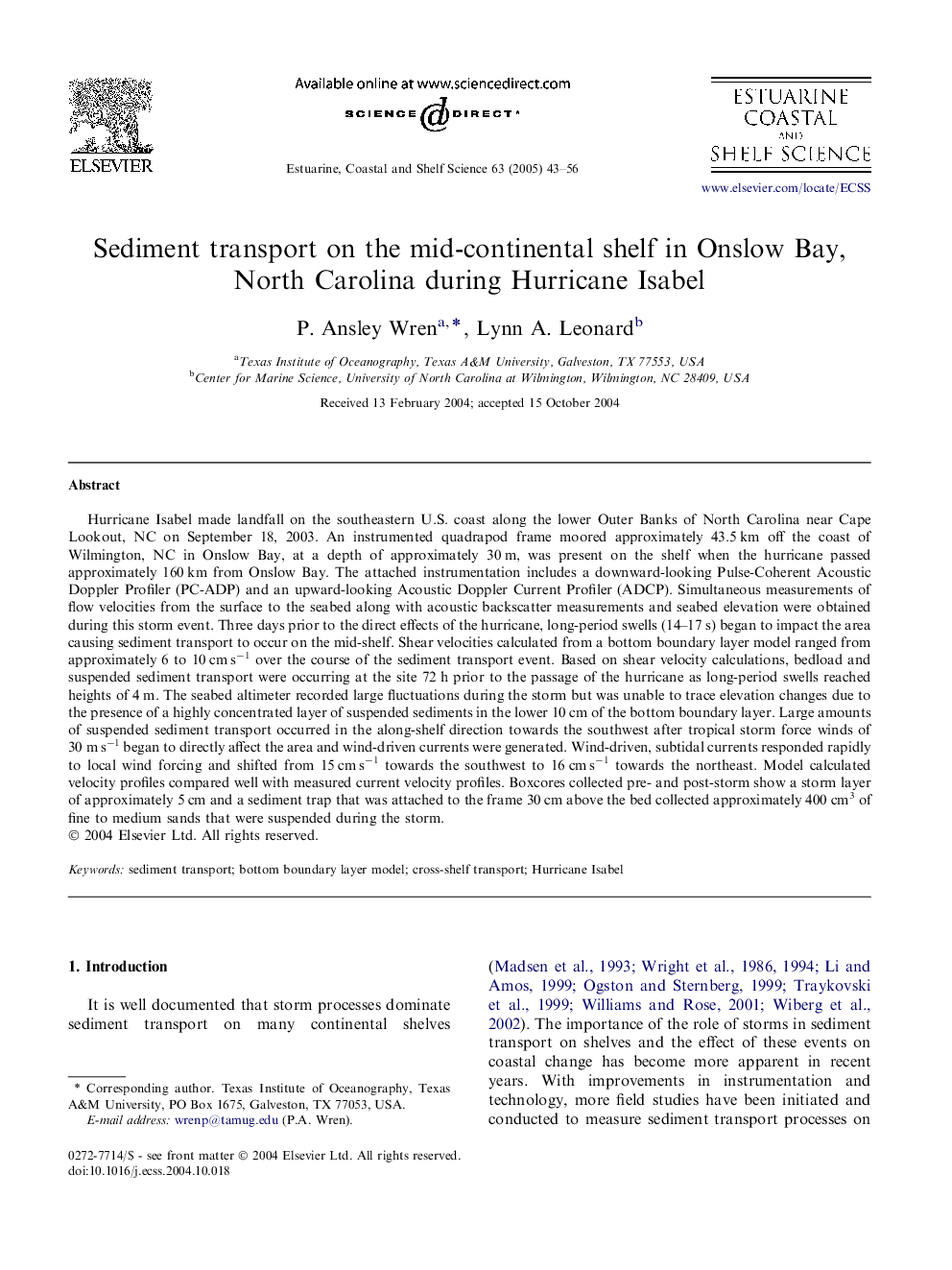
پیش نمایش صفحه اول مقاله

چکیده انگلیسی
Hurricane Isabel made landfall on the southeastern U.S. coast along the lower Outer Banks of North Carolina near Cape Lookout, NC on September 18, 2003. An instrumented quadrapod frame moored approximately 43.5 km off the coast of Wilmington, NC in Onslow Bay, at a depth of approximately 30 m, was present on the shelf when the hurricane passed approximately 160 km from Onslow Bay. The attached instrumentation includes a downward-looking Pulse-Coherent Acoustic Doppler Profiler (PC-ADP) and an upward-looking Acoustic Doppler Current Profiler (ADCP). Simultaneous measurements of flow velocities from the surface to the seabed along with acoustic backscatter measurements and seabed elevation were obtained during this storm event. Three days prior to the direct effects of the hurricane, long-period swells (14-17 s) began to impact the area causing sediment transport to occur on the mid-shelf. Shear velocities calculated from a bottom boundary layer model ranged from approximately 6 to 10 cm sâ1 over the course of the sediment transport event. Based on shear velocity calculations, bedload and suspended sediment transport were occurring at the site 72 h prior to the passage of the hurricane as long-period swells reached heights of 4 m. The seabed altimeter recorded large fluctuations during the storm but was unable to trace elevation changes due to the presence of a highly concentrated layer of suspended sediments in the lower 10 cm of the bottom boundary layer. Large amounts of suspended sediment transport occurred in the along-shelf direction towards the southwest after tropical storm force winds of 30 m sâ1 began to directly affect the area and wind-driven currents were generated. Wind-driven, subtidal currents responded rapidly to local wind forcing and shifted from 15 cm sâ1 towards the southwest to 16 cm sâ1 towards the northeast. Model calculated velocity profiles compared well with measured current velocity profiles. Boxcores collected pre- and post-storm show a storm layer of approximately 5 cm and a sediment trap that was attached to the frame 30 cm above the bed collected approximately 400 cm3 of fine to medium sands that were suspended during the storm.
ناشر
Database: Elsevier - ScienceDirect (ساینس دایرکت)
Journal: Estuarine, Coastal and Shelf Science - Volume 63, Issues 1â2, April 2005, Pages 43-56
Journal: Estuarine, Coastal and Shelf Science - Volume 63, Issues 1â2, April 2005, Pages 43-56
نویسندگان
P. Ansley Wren, Lynn A. Leonard,