| کد مقاله | کد نشریه | سال انتشار | مقاله انگلیسی | نسخه تمام متن |
|---|---|---|---|---|
| 5755574 | 1621796 | 2017 | 10 صفحه PDF | دانلود رایگان |
عنوان انگلیسی مقاله ISI
Comparison of UAV and WorldView-2 imagery for mapping leaf area index of mangrove forest
دانلود مقاله + سفارش ترجمه
دانلود مقاله ISI انگلیسی
رایگان برای ایرانیان
کلمات کلیدی
موضوعات مرتبط
مهندسی و علوم پایه
علوم زمین و سیارات
کامپیوتر در علوم زمین
پیش نمایش صفحه اول مقاله

چکیده انگلیسی
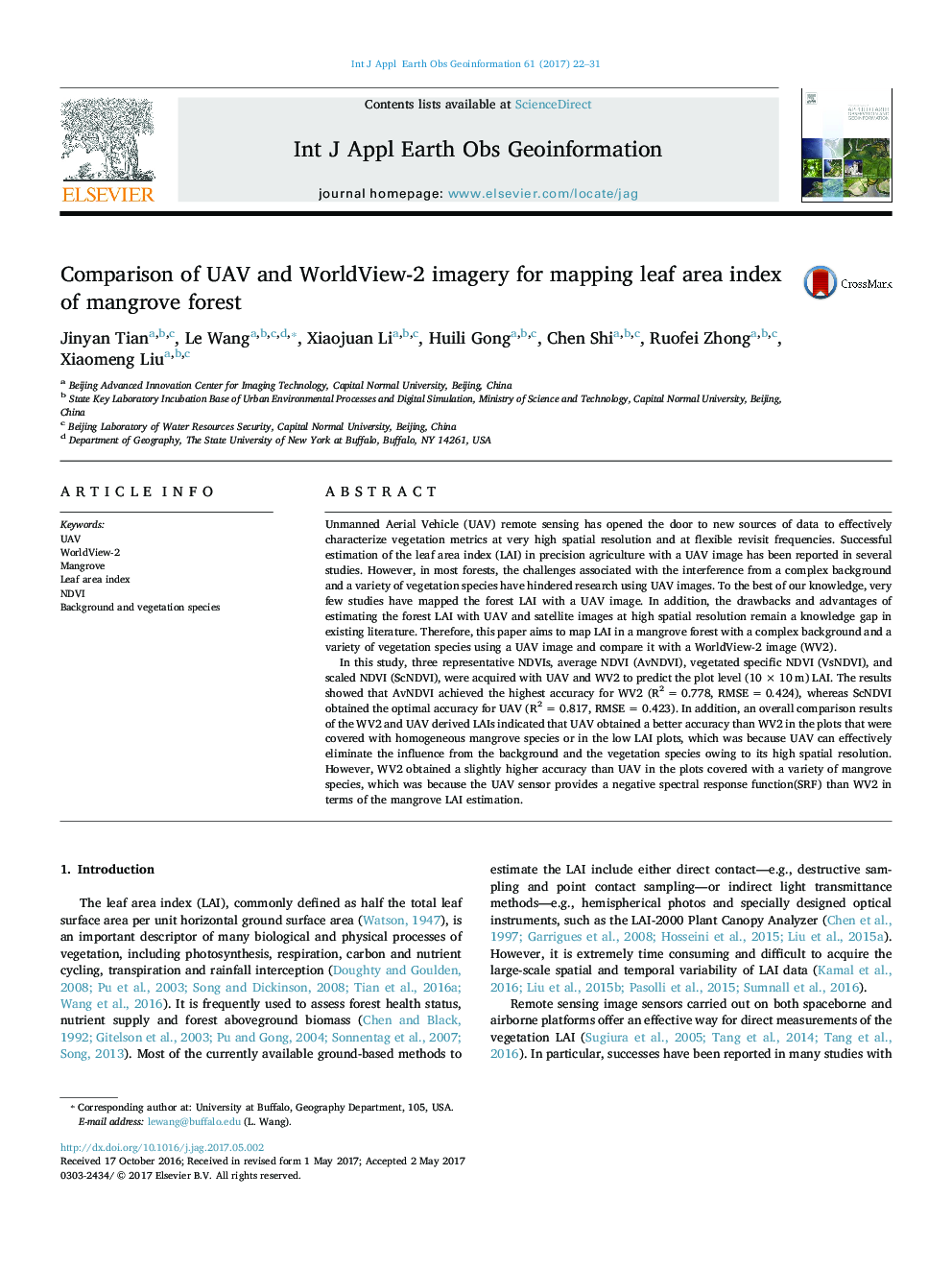
In this study, three representative NDVIs, average NDVI (AvNDVI), vegetated specific NDVI (VsNDVI), and scaled NDVI (ScNDVI), were acquired with UAV and WV2 to predict the plot level (10Â ÃÂ 10Â m) LAI. The results showed that AvNDVI achieved the highest accuracy for WV2 (R2Â =Â 0.778, RMSEÂ =Â 0.424), whereas ScNDVI obtained the optimal accuracy for UAV (R2Â =Â 0.817, RMSEÂ =Â 0.423). In addition, an overall comparison results of the WV2 and UAV derived LAIs indicated that UAV obtained a better accuracy than WV2 in the plots that were covered with homogeneous mangrove species or in the low LAI plots, which was because UAV can effectively eliminate the influence from the background and the vegetation species owing to its high spatial resolution. However, WV2 obtained a slightly higher accuracy than UAV in the plots covered with a variety of mangrove species, which was because the UAV sensor provides a negative spectral response function(SRF) than WV2 in terms of the mangrove LAI estimation.
ناشر
Database: Elsevier - ScienceDirect (ساینس دایرکت)
Journal: International Journal of Applied Earth Observation and Geoinformation - Volume 61, September 2017, Pages 22-31
Journal: International Journal of Applied Earth Observation and Geoinformation - Volume 61, September 2017, Pages 22-31
نویسندگان
Jinyan Tian, Le Wang, Xiaojuan Li, Huili Gong, Chen Shi, Ruofei Zhong, Xiaomeng Liu,