| کد مقاله | کد نشریه | سال انتشار | مقاله انگلیسی | نسخه تمام متن |
|---|---|---|---|---|
| 1116991 | 1488474 | 2013 | 11 صفحه PDF | دانلود رایگان |
عنوان انگلیسی مقاله ISI
Determination of Spatial Factors in Measuring Urban Sprawl in Kuantan Using Remote Sensing and GIS
دانلود مقاله + سفارش ترجمه
دانلود مقاله ISI انگلیسی
رایگان برای ایرانیان
موضوعات مرتبط
علوم انسانی و اجتماعی
علوم انسانی و هنر
هنر و علوم انسانی (عمومی)
پیش نمایش صفحه اول مقاله

چکیده انگلیسی
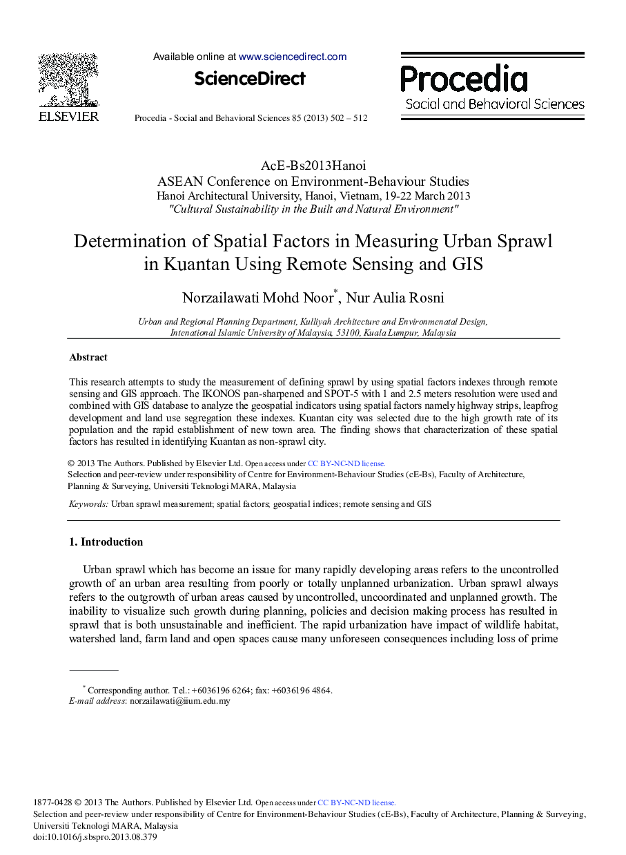
This research attempts to study the measurement of defining sprawl by using spatial factors indexes through remote sensing and GIS approach. The IKONOS pan-sharpened and SPOT-5 with 1 and 2.5 meters resolution were used and combined with GIS database to analyze the geospatial indicators using spatial factors namely highway strips, leapfrog development and land use segregation these indexes. Kuantan city was selected due to the high growth rate of its population and the rapid establishment of new town area. The finding shows that characterization of these spatial factors has resulted in identifying Kuantan as non-sprawl city.
ناشر
Database: Elsevier - ScienceDirect (ساینس دایرکت)
Journal: Procedia - Social and Behavioral Sciences - Volume 85, 20 September 2013, Pages 502-512
Journal: Procedia - Social and Behavioral Sciences - Volume 85, 20 September 2013, Pages 502-512