| کد مقاله | کد نشریه | سال انتشار | مقاله انگلیسی | نسخه تمام متن |
|---|---|---|---|---|
| 1122314 | 1488524 | 2012 | 8 صفحه PDF | دانلود رایگان |
عنوان انگلیسی مقاله ISI
GIS Based Multi-Criteria Decision Making for Landslide Hazard Zonation
دانلود مقاله + سفارش ترجمه
دانلود مقاله ISI انگلیسی
رایگان برای ایرانیان
موضوعات مرتبط
علوم انسانی و اجتماعی
علوم انسانی و هنر
هنر و علوم انسانی (عمومی)
پیش نمایش صفحه اول مقاله

چکیده انگلیسی
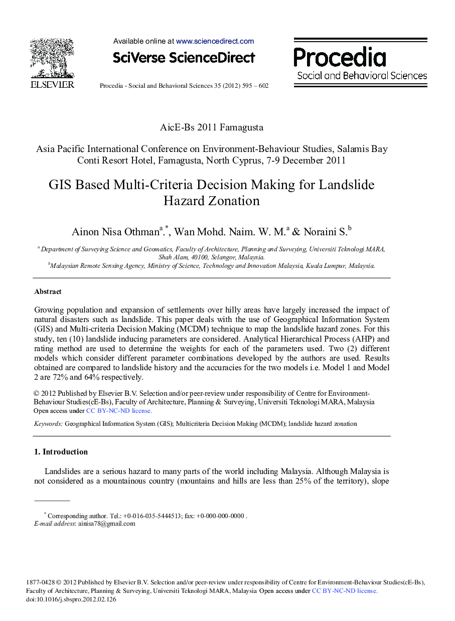
Growing population and expansion of settlements over hilly areas have largely increased the impact of natural disasters such as landslide. This paper deals with the use of Geographical Information System (GIS) and Multi-criteria Decision Making (MCDM) technique to map the landslide hazard zones. For this study, ten (10) landslide inducing parameters are considered. Analytical Hierarchical Process (AHP) and rating method are used to determine the weights for each of the parameters used. Two (2) different models which consider different parameter combinations developed by the authors are used. Results obtained are compared to landslide history and the accuracies for the two models i.e. Model 1 and Model 2 are 72% and 64% respectively.
ناشر
Database: Elsevier - ScienceDirect (ساینس دایرکت)
Journal: Procedia - Social and Behavioral Sciences - Volume 35, 2012, Pages 595-602
Journal: Procedia - Social and Behavioral Sciences - Volume 35, 2012, Pages 595-602