| کد مقاله | کد نشریه | سال انتشار | مقاله انگلیسی | نسخه تمام متن |
|---|---|---|---|---|
| 1126981 | 1488643 | 2010 | 12 صفحه PDF | دانلود رایگان |
عنوان انگلیسی مقاله ISI
Using cadastral maps in historical demographic research: Some examples from the Netherlands
دانلود مقاله + سفارش ترجمه
دانلود مقاله ISI انگلیسی
رایگان برای ایرانیان
کلمات کلیدی
موضوعات مرتبط
علوم انسانی و اجتماعی
علوم انسانی و هنر
تاریخ
پیش نمایش صفحه اول مقاله

چکیده انگلیسی
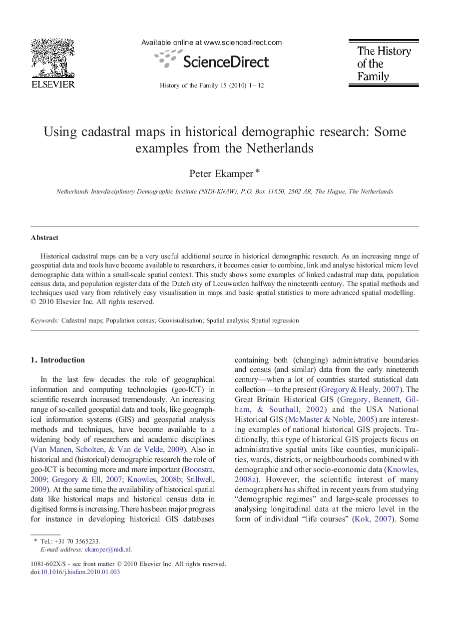
Historical cadastral maps can be a very useful additional source in historical demographic research. As an increasing range of geospatial data and tools have become available to researchers, it becomes easier to combine, link and analyse historical micro level demographic data within a small-scale spatial context. This study shows some examples of linked cadastral map data, population census data, and population register data of the Dutch city of Leeuwarden halfway the nineteenth century. The spatial methods and techniques used vary from relatively easy visualisation in maps and basic spatial statistics to more advanced spatial modelling.
ناشر
Database: Elsevier - ScienceDirect (ساینس دایرکت)
Journal: The History of the Family - Volume 15, Issue 1, 15 March 2010, Pages 1-12
Journal: The History of the Family - Volume 15, Issue 1, 15 March 2010, Pages 1-12
نویسندگان
Peter Ekamper,