| کد مقاله | کد نشریه | سال انتشار | مقاله انگلیسی | نسخه تمام متن |
|---|---|---|---|---|
| 493104 | 721675 | 2013 | 10 صفحه PDF | دانلود رایگان |
عنوان انگلیسی مقاله ISI
Mapping Burnt Forest Areas and Monitoring their Regeneration Using MERIS Images
دانلود مقاله + سفارش ترجمه
دانلود مقاله ISI انگلیسی
رایگان برای ایرانیان
موضوعات مرتبط
مهندسی و علوم پایه
مهندسی کامپیوتر
علوم کامپیوتر (عمومی)
پیش نمایش صفحه اول مقاله

چکیده انگلیسی
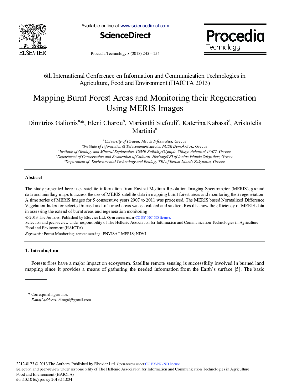
The study presented here uses satellite information from Envisat-Medium Resolution Imaging Spectrometer (MERIS), ground data and ancillary maps to access the use of MERIS satellite data in mapping burnt forest areas and monitoring their regeneration. A time series of MERIS images for 5 consecutive years 2007 to 2011 was processed. The MERIS based Normalized Difference Vegetation Index for selected burned and unburned areas was calculated and studied. Results show the efficiency of MERIS data in assessing the extend of burnt areas and regeneration monitoring
ناشر
Database: Elsevier - ScienceDirect (ساینس دایرکت)
Journal: Procedia Technology - Volume 8, 2013, Pages 245-254
Journal: Procedia Technology - Volume 8, 2013, Pages 245-254