| کد مقاله | کد نشریه | سال انتشار | مقاله انگلیسی | نسخه تمام متن |
|---|---|---|---|---|
| 6921904 | 864882 | 2016 | 12 صفحه PDF | دانلود رایگان |
عنوان انگلیسی مقاله ISI
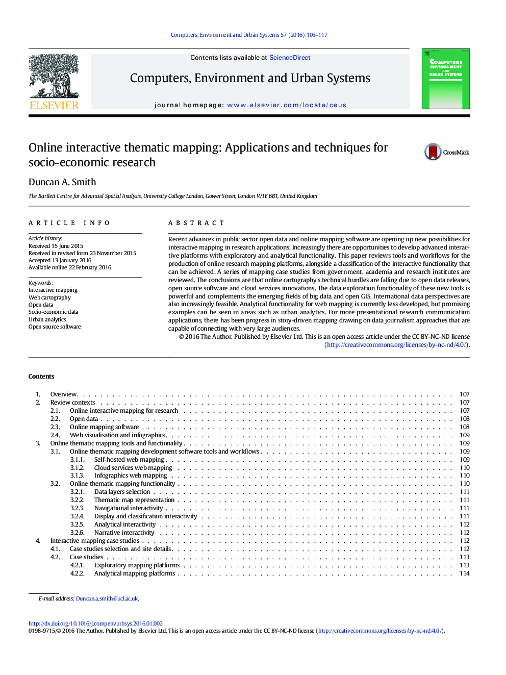
Online interactive thematic mapping: Applications and techniques for socio-economic research
ترجمه فارسی عنوان
نقشه برداری موضوعی آنلاین تعاملی: برنامه ها و تکنیک های تحقیق اجتماعی و اقتصادی
دانلود مقاله + سفارش ترجمه
دانلود مقاله ISI انگلیسی
رایگان برای ایرانیان
کلمات کلیدی
نقشه برداری تعاملی، نقشه برداری وب، دادههای باز، داده های اجتماعی و اقتصادی، تجزیه و تحلیل شهری، نرم افزار منبع باز،
موضوعات مرتبط
مهندسی و علوم پایه
مهندسی کامپیوتر
نرم افزارهای علوم کامپیوتر
چکیده انگلیسی
Recent advances in public sector open data and online mapping software are opening up new possibilities for interactive mapping in research applications. Increasingly there are opportunities to develop advanced interactive platforms with exploratory and analytical functionality. This paper reviews tools and workflows for the production of online research mapping platforms, alongside a classification of the interactive functionality that can be achieved. A series of mapping case studies from government, academia and research institutes are reviewed. The conclusions are that online cartography's technical hurdles are falling due to open data releases, open source software and cloud services innovations. The data exploration functionality of these new tools is powerful and complements the emerging fields of big data and open GIS. International data perspectives are also increasingly feasible. Analytical functionality for web mapping is currently less developed, but promising examples can be seen in areas such as urban analytics. For more presentational research communication applications, there has been progress in story-driven mapping drawing on data journalism approaches that are capable of connecting with very large audiences.
ناشر
Database: Elsevier - ScienceDirect (ساینس دایرکت)
Journal: Computers, Environment and Urban Systems - Volume 57, May 2016, Pages 106-117
Journal: Computers, Environment and Urban Systems - Volume 57, May 2016, Pages 106-117
نویسندگان
Duncan A. Smith,
