| کد مقاله | کد نشریه | سال انتشار | مقاله انگلیسی | نسخه تمام متن |
|---|---|---|---|---|
| 6922438 | 865031 | 2016 | 11 صفحه PDF | دانلود رایگان |
عنوان انگلیسی مقاله ISI
Spatiotemporal data representation and its effect on the performance of spatial analysis in a cyberinfrastructure environment - A case study with raster zonal analysis
دانلود مقاله + سفارش ترجمه
دانلود مقاله ISI انگلیسی
رایگان برای ایرانیان
موضوعات مرتبط
مهندسی و علوم پایه
مهندسی کامپیوتر
نرم افزارهای علوم کامپیوتر
پیش نمایش صفحه اول مقاله

چکیده انگلیسی
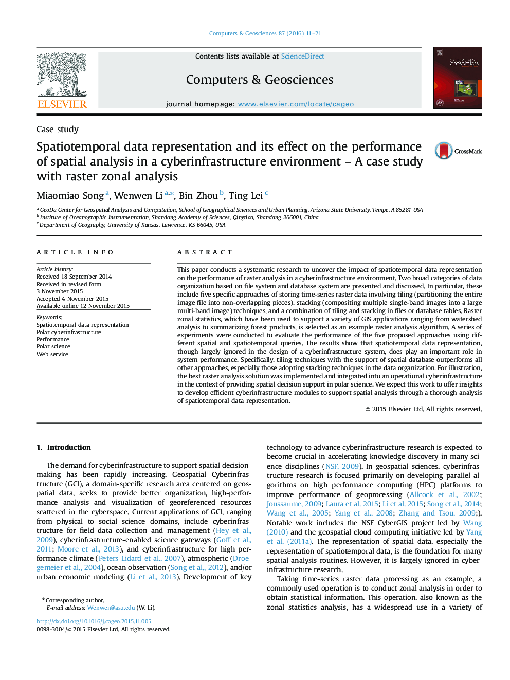
This paper conducts a systematic research to uncover the impact of spatiotemporal data representation on the performance of raster analysis in a cyberinfrastructure environment. Two broad categories of data organization based on file system and database system are presented and discussed. In particular, these include five specific approaches of storing time-series raster data involving tiling (partitioning the entire image file into non-overlapping pieces), stacking (compositing multiple single-band images into a large multi-band image) techniques, and a combination of tiling and stacking in files or database tables. Raster zonal statistics, which have been used to support a variety of GIS applications ranging from watershed analysis to summarizing forest products, is selected as an example raster analysis algorithm. A series of experiments were conducted to evaluate the performance of the five proposed approaches using different spatial and spatiotemporal queries. The results show that spatiotemporal data representation, though largely ignored in the design of a cyberinfrastructure system, does play an important role in system performance. Specifically, tiling techniques with the support of spatial database outperforms all other approaches, especially those adopting stacking techniques in the data organization. For illustration, the best raster analysis solution was implemented and integrated into an operational cyberinfrastructure in the context of providing spatial decision support in polar science. We expect this work to offer insights to develop efficient cyberinfrastructure modules to support spatial analysis through a thorough analysis of spatiotemporal data representation.
ناشر
Database: Elsevier - ScienceDirect (ساینس دایرکت)
Journal: Computers & Geosciences - Volume 87, February 2016, Pages 11-21
Journal: Computers & Geosciences - Volume 87, February 2016, Pages 11-21
نویسندگان
Miaomiao Song, Wenwen Li, Bin Zhou, Ting Lei,