| کد مقاله | کد نشریه | سال انتشار | مقاله انگلیسی | نسخه تمام متن |
|---|---|---|---|---|
| 6949250 | 1451239 | 2018 | 14 صفحه PDF | دانلود رایگان |
عنوان انگلیسی مقاله ISI
Aerial photography flight quality assessment with GPS/INS and DEM data
دانلود مقاله + سفارش ترجمه
دانلود مقاله ISI انگلیسی
رایگان برای ایرانیان
کلمات کلیدی
موضوعات مرتبط
مهندسی و علوم پایه
مهندسی کامپیوتر
سیستم های اطلاعاتی
پیش نمایش صفحه اول مقاله

چکیده انگلیسی
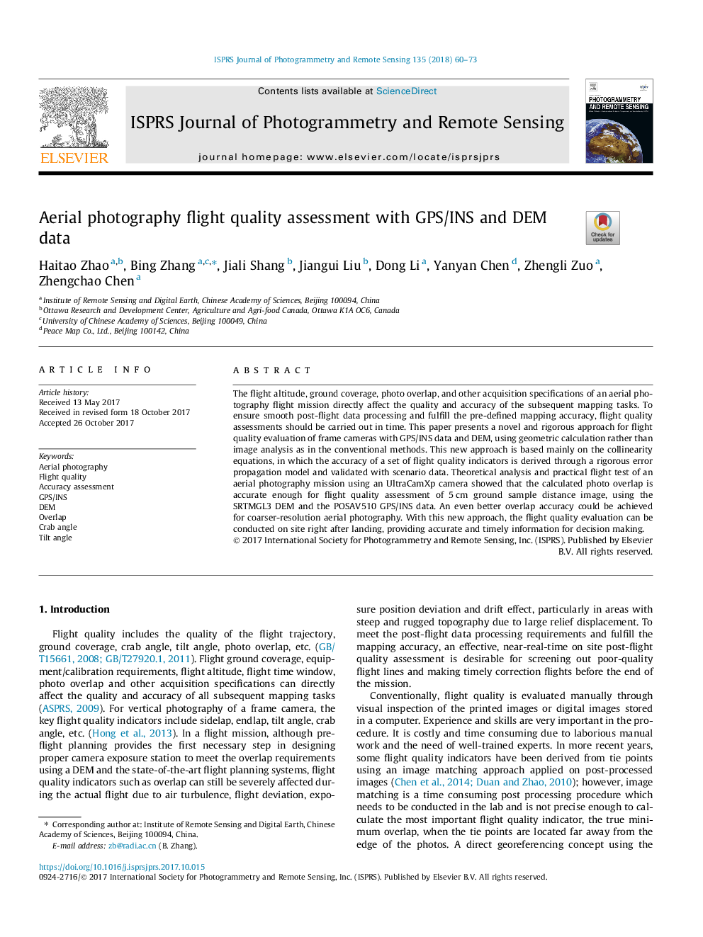
The flight altitude, ground coverage, photo overlap, and other acquisition specifications of an aerial photography flight mission directly affect the quality and accuracy of the subsequent mapping tasks. To ensure smooth post-flight data processing and fulfill the pre-defined mapping accuracy, flight quality assessments should be carried out in time. This paper presents a novel and rigorous approach for flight quality evaluation of frame cameras with GPS/INS data and DEM, using geometric calculation rather than image analysis as in the conventional methods. This new approach is based mainly on the collinearity equations, in which the accuracy of a set of flight quality indicators is derived through a rigorous error propagation model and validated with scenario data. Theoretical analysis and practical flight test of an aerial photography mission using an UltraCamXp camera showed that the calculated photo overlap is accurate enough for flight quality assessment of 5â¯cm ground sample distance image, using the SRTMGL3 DEM and the POSAV510 GPS/INS data. An even better overlap accuracy could be achieved for coarser-resolution aerial photography. With this new approach, the flight quality evaluation can be conducted on site right after landing, providing accurate and timely information for decision making.
ناشر
Database: Elsevier - ScienceDirect (ساینس دایرکت)
Journal: ISPRS Journal of Photogrammetry and Remote Sensing - Volume 135, January 2018, Pages 60-73
Journal: ISPRS Journal of Photogrammetry and Remote Sensing - Volume 135, January 2018, Pages 60-73
نویسندگان
Haitao Zhao, Bing Zhang, Jiali Shang, Jiangui Liu, Dong Li, Yanyan Chen, Zhengli Zuo, Zhengchao Chen,