| کد مقاله | کد نشریه | سال انتشار | مقاله انگلیسی | نسخه تمام متن |
|---|---|---|---|---|
| 7445533 | 1483935 | 2016 | 8 صفحه PDF | دانلود رایگان |
عنوان انگلیسی مقاله ISI
Meshing around: integrating ground-penetrating radar surveys and photogrammetric documentation for the reconstruction of the spatial layout of the church of St. Lawrence, Sigtuna, Sweden
دانلود مقاله + سفارش ترجمه
دانلود مقاله ISI انگلیسی
رایگان برای ایرانیان
کلمات کلیدی
موضوعات مرتبط
علوم انسانی و اجتماعی
علوم انسانی و هنر
تاریخ
پیش نمایش صفحه اول مقاله

چکیده انگلیسی
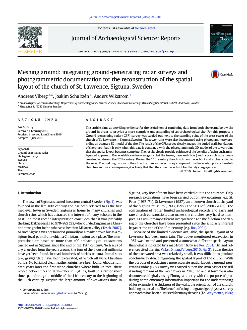
This article aims at providing evidence for the usefulness of combining data from both above and below the ground in order to provide a more complete understanding of an archaeological site. For this purpose a Ground-penetrating radar (GPR) survey was carried out next to the standing ruins of the west tower of the church of St. Lawrence in Sigtuna, Sweden. The tower ruins were also documented using photogrammetry providing an accurate 3D-model of the site. The result of the GPR survey clearly images the buried wall foundations of the church but it is only when this data is combined with the photogrammetric 3D-model of the tower ruins that the spatial layout becomes complete. The results clearly provide evidence of the benefits of using such an integrated approach. The available evidence suggests that the tower, nave and choir (with a possible apse) were constructed during the 12th century. During the 15th century the church porch was built and arches added to the nave. The building history of the church is thus rather ordinary compared to other contemporary Swedish churches and, as a consequence, it is likely that that the church was built for the city congregation.
ناشر
Database: Elsevier - ScienceDirect (ساینس دایرکت)
Journal: Journal of Archaeological Science: Reports - Volume 8, August 2016, Pages 295-302
Journal: Journal of Archaeological Science: Reports - Volume 8, August 2016, Pages 295-302
نویسندگان
Andreas Viberg, Joakim Schultzén, Anders Wikström,