| کد مقاله | کد نشریه | سال انتشار | مقاله انگلیسی | نسخه تمام متن |
|---|---|---|---|---|
| 865795 | 909681 | 2008 | 6 صفحه PDF | دانلود رایگان |
عنوان انگلیسی مقاله ISI
Development of an Accurate Urban Modeling System Using CAD/GIS Data for Atmosphere Environmental Simulation
دانلود مقاله + سفارش ترجمه
دانلود مقاله ISI انگلیسی
رایگان برای ایرانیان
موضوعات مرتبط
مهندسی و علوم پایه
سایر رشته های مهندسی
مهندسی (عمومی)
پیش نمایش صفحه اول مقاله

چکیده انگلیسی
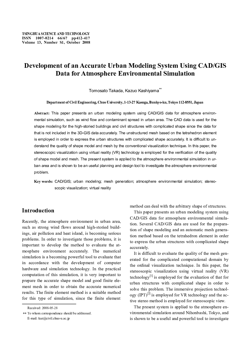
This paper presents an urban modeling system using CAD/GIS data for atmosphere environmental simulation, such as wind flow and contaminant spread in urban area. The CAD data is used for the shape modeling for the high-storied buildings and civil structures with complicated shape since the data for that is not included in the 3D-GIS data accurately. The unstructured mesh based on the tetrahedron element is employed in order to express the urban structures with complicated shape accurately. It is difficult to understand the quality of shape model and mesh by the conventional visualization technique. In this paper, the stereoscopic visualization using virtual reality (VR) technology is employed for the verification of the quality of shape model and mesh. The present system is applied to the atmosphere environmental simulation in urban area and is shown to be an useful planning and design tool to investigate the atmosphere environmental problem.
ناشر
Database: Elsevier - ScienceDirect (ساینس دایرکت)
Journal: Tsinghua Science & Technology - Volume 13, Supplement 1, October 2008, Pages 412-417
Journal: Tsinghua Science & Technology - Volume 13, Supplement 1, October 2008, Pages 412-417
نویسندگان
Tomosato Takada, Kazuo Kashiyama,