| کد مقاله | کد نشریه | سال انتشار | مقاله انگلیسی | نسخه تمام متن |
|---|---|---|---|---|
| 8895520 | 1630327 | 2017 | 14 صفحه PDF | دانلود رایگان |
عنوان انگلیسی مقاله ISI
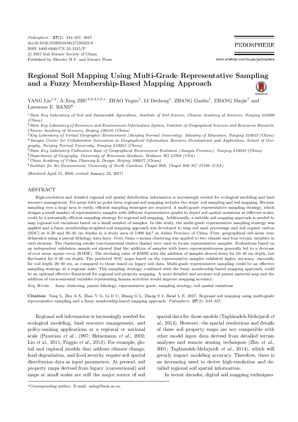
Regional Soil Mapping Using Multi-Grade Representative Sampling and a Fuzzy Membership-Based Mapping Approach
ترجمه فارسی عنوان
نقشه برداری منطقه ای با استفاده از نمونه برداری چند نمونه و یک روش مدل سازی مبتنی بر عضویت فازی
دانلود مقاله + سفارش ترجمه
دانلود مقاله ISI انگلیسی
رایگان برای ایرانیان
کلمات کلیدی
خوشه فازی سنگ شناسی والدین، درجه نماینده استراتژی نمونه گیری، تغییرات فضایی خاک،
موضوعات مرتبط
علوم زیستی و بیوفناوری
علوم کشاورزی و بیولوژیک
دانش خاک شناسی
چکیده انگلیسی
High-resolution and detailed regional soil spatial distribution information is increasingly needed for ecological modeling and land resource management. For areas with no point data, regional soil mapping includes two steps: soil sampling and soil mapping. Because sampling over a large area is costly, efficient sampling strategies are required. A multi-grade representative sampling strategy, which designs a small number of representative samples with different representative grades to depict soil spatial variations at different scales, could be a potentially efficient sampling strategy for regional soil mapping. Additionally, a suitable soil mapping approach is needed to map regional soil variations based on a small number of samples. In this study, the multi-grade representative sampling strategy was applied and a fuzzy membership-weighted soil mapping approach was developed to map soil sand percentage and soil organic carbon (SOC) at 0-20 and 20-40 cm depths in a study area of 5 900 km2 in Anhui Province of China. First, geographical sub-areas were delineated using a parent lithology data layer. Next, fuzzy c-means clustering was applied to two climate and four terrain variables in each stratum. The clustering results (environmental cluster chains) were used to locate representative samples. Evaluations based on an independent validation sample set showed that the addition of samples with lower representativeness generally led to a decrease of root mean square error (RMSE). The declining rates of RMSE with the addition of samples slowed down for 20-40 cm depth, but fluctuated for 0-20 cm depth. The predicted SOC maps based on the representative samples exhibited higher accuracy, especially for soil depth 20-40 cm, as compared to those based on legacy soil data. Multi-grade representative sampling could be an effective sampling strategy at a regional scale. This sampling strategy, combined with the fuzzy membership-based mapping approach, could be an optional effective framework for regional soil property mapping. A more detailed and accurate soil parent material map and the addition of environmental variables representing human activities would improve mapping accuracy.
ناشر
Database: Elsevier - ScienceDirect (ساینس دایرکت)
Journal: Pedosphere - Volume 27, Issue 2, April 2017, Pages 344-357
Journal: Pedosphere - Volume 27, Issue 2, April 2017, Pages 344-357
نویسندگان
Lin YANG, A-Xing ZHU, Yuguo ZHAO, Decheng LI, Ganlin ZHANG, Shujie ZHANG, Lawrence E. BAND,
