| کد مقاله | کد نشریه | سال انتشار | مقاله انگلیسی | نسخه تمام متن |
|---|---|---|---|---|
| 4917224 | 1362759 | 2016 | 16 صفحه PDF | دانلود رایگان |
عنوان انگلیسی مقاله ISI
A remote measurement and mapping technique for orderly rapid aggregation of building stock geometry
ترجمه فارسی عنوان
یک روش سنجش از راه دور و نقشه برداری برای جمع بندی سریع و سریع هندسه سهام ساختمان
دانلود مقاله + سفارش ترجمه
دانلود مقاله ISI انگلیسی
رایگان برای ایرانیان
کلمات کلیدی
تجمع ساختمان ساختمان، فتوگرامتری، اندازه گیری از راه دور، آرکه تایپ، کاتالوگ هندسه، نقشه برداری،
موضوعات مرتبط
مهندسی و علوم پایه
سایر رشته های مهندسی
مهندسی عمران و سازه
چکیده انگلیسی
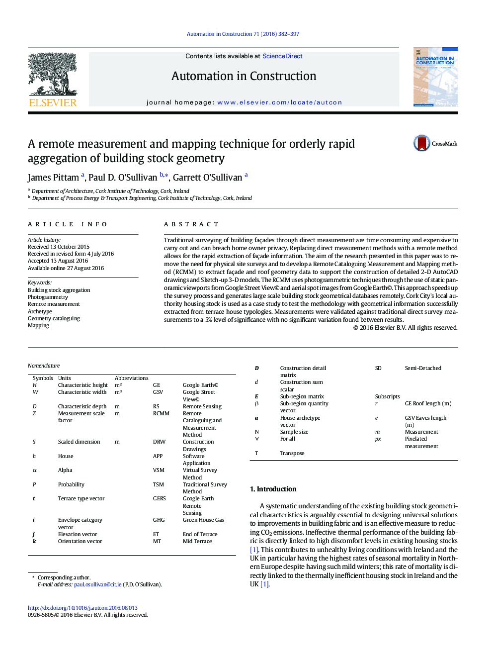
Traditional surveying of building façades through direct measurement are time consuming and expensive to carry out and can breach home owner privacy. Replacing direct measurement methods with a remote method allows for the rapid extraction of façade information. The aim of the research presented in this paper was to remove the need for physical site surveys and to develop a Remote Cataloguing Measurement and Mapping method (RCMM) to extract façade and roof geometry data to support the construction of detailed 2-D AutoCAD drawings and Sketch-up 3-D models. The RCMM uses photogrammetric techniques through the use of static panoramic viewports from Google Street View© and aerial spot images from Google Earth©. This approach speeds up the survey process and generates large scale building stock geometrical databases remotely. Cork City's local authority housing stock is used as a case study to test the methodology with geometrical information successfully extracted from terrace house typologies. Measurements were validated against traditional direct survey measurements to a 5% level of significance with no significant variation found between results.
ناشر
Database: Elsevier - ScienceDirect (ساینس دایرکت)
Journal: Automation in Construction - Volume 71, Part 2, November 2016, Pages 382-397
Journal: Automation in Construction - Volume 71, Part 2, November 2016, Pages 382-397
نویسندگان
James Pittam, Paul D. O'Sullivan, Garrett O'Sullivan,
