| کد مقاله | کد نشریه | سال انتشار | مقاله انگلیسی | نسخه تمام متن |
|---|---|---|---|---|
| 5075250 | 1373741 | 2006 | 7 صفحه PDF | دانلود رایگان |
عنوان انگلیسی مقاله ISI
Mapping massacres: GIS and state terror in Guatemala
دانلود مقاله + سفارش ترجمه
دانلود مقاله ISI انگلیسی
رایگان برای ایرانیان
موضوعات مرتبط
علوم انسانی و اجتماعی
اقتصاد، اقتصادسنجی و امور مالی
اقتصاد و اقتصادسنجی
پیش نمایش صفحه اول مقاله

چکیده انگلیسی
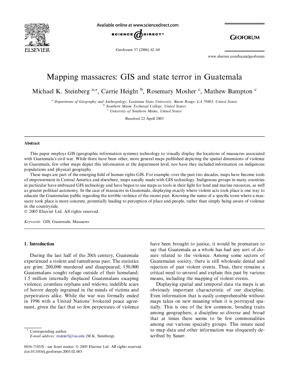
These maps are part of the emerging field of human rights GIS. For example, over the past two decades, maps have become tools of empowerment in Central America and elsewhere, maps usually made with GIS technology. Indigenous groups in many countries in particular have embraced GIS technology and have begun to use maps as tools in their fight for land and marine resources, as well as greater political autonomy. In the case of massacres in Guatemala, displaying exactly where violent acts took place is one way to educate the Guatemalan public regarding the terrible violence of the recent past. Knowing the name of a specific town where a massacre took place is more concrete, potentially leading to perception of place and people, rather than simply being aware of violence in the countryside.
ناشر
Database: Elsevier - ScienceDirect (ساینس دایرکت)
Journal: Geoforum - Volume 37, Issue 1, January 2006, Pages 62-68
Journal: Geoforum - Volume 37, Issue 1, January 2006, Pages 62-68
نویسندگان
Michael K. Steinberg, Carrie Height, Rosemary Mosher, Mathew Bampton,