| کد مقاله | کد نشریه | سال انتشار | مقاله انگلیسی | نسخه تمام متن |
|---|---|---|---|---|
| 5115634 | 1484979 | 2017 | 16 صفحه PDF | دانلود رایگان |
عنوان انگلیسی مقاله ISI
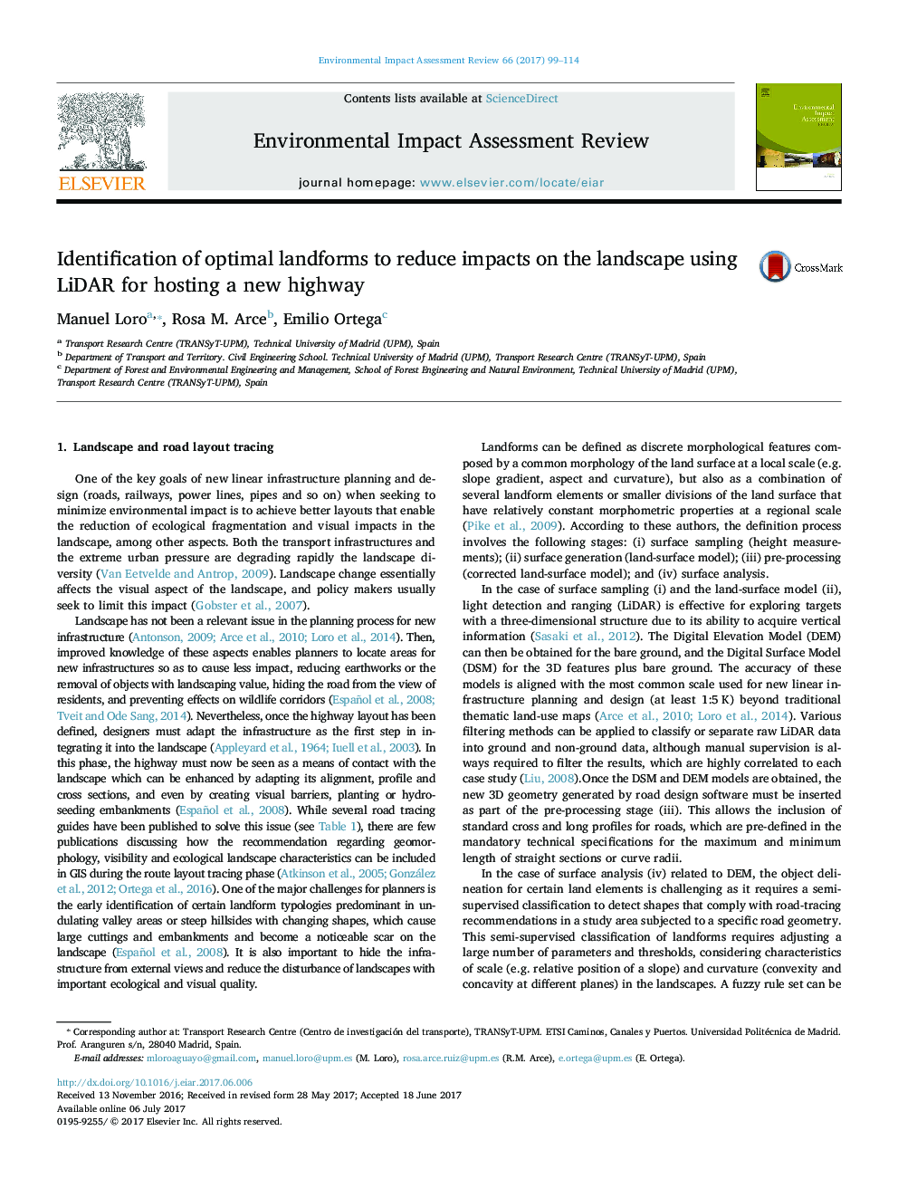
Identification of optimal landforms to reduce impacts on the landscape using LiDAR for hosting a new highway
دانلود مقاله + سفارش ترجمه
دانلود مقاله ISI انگلیسی
رایگان برای ایرانیان
موضوعات مرتبط
مهندسی و علوم پایه
مهندسی انرژی
انرژی های تجدید پذیر، توسعه پایدار و محیط زیست
پیش نمایش صفحه اول مقاله

چکیده انگلیسی
- New territorial indicators were designed to quantify landscape impacts.
- Reduction of visual impacts caused by new roads from planning and design stages.
- LIDAR and 3D realistic views were considered to locate observer's views.
- Bands of less cumulative impact were obtained as guides for highway tracing.
- Preventive and corrective measures for impact mitigation were located.
ناشر
Database: Elsevier - ScienceDirect (ساینس دایرکت)
Journal: Environmental Impact Assessment Review - Volume 66, September 2017, Pages 99-114
Journal: Environmental Impact Assessment Review - Volume 66, September 2017, Pages 99-114
نویسندگان
Manuel Loro, Rosa M. Arce, Emilio Ortega,