| کد مقاله | کد نشریه | سال انتشار | مقاله انگلیسی | نسخه تمام متن |
|---|---|---|---|---|
| 6293196 | 1617133 | 2016 | 9 صفحه PDF | دانلود رایگان |
عنوان انگلیسی مقاله ISI
Using DEM to predict Abies faxoniana and Quercus aquifolioides distributions in the upstream catchment basin of the Min River in southwest China
دانلود مقاله + سفارش ترجمه
دانلود مقاله ISI انگلیسی
رایگان برای ایرانیان
کلمات کلیدی
موضوعات مرتبط
علوم زیستی و بیوفناوری
علوم کشاورزی و بیولوژیک
بوم شناسی، تکامل، رفتار و سامانه شناسی
پیش نمایش صفحه اول مقاله

چکیده انگلیسی
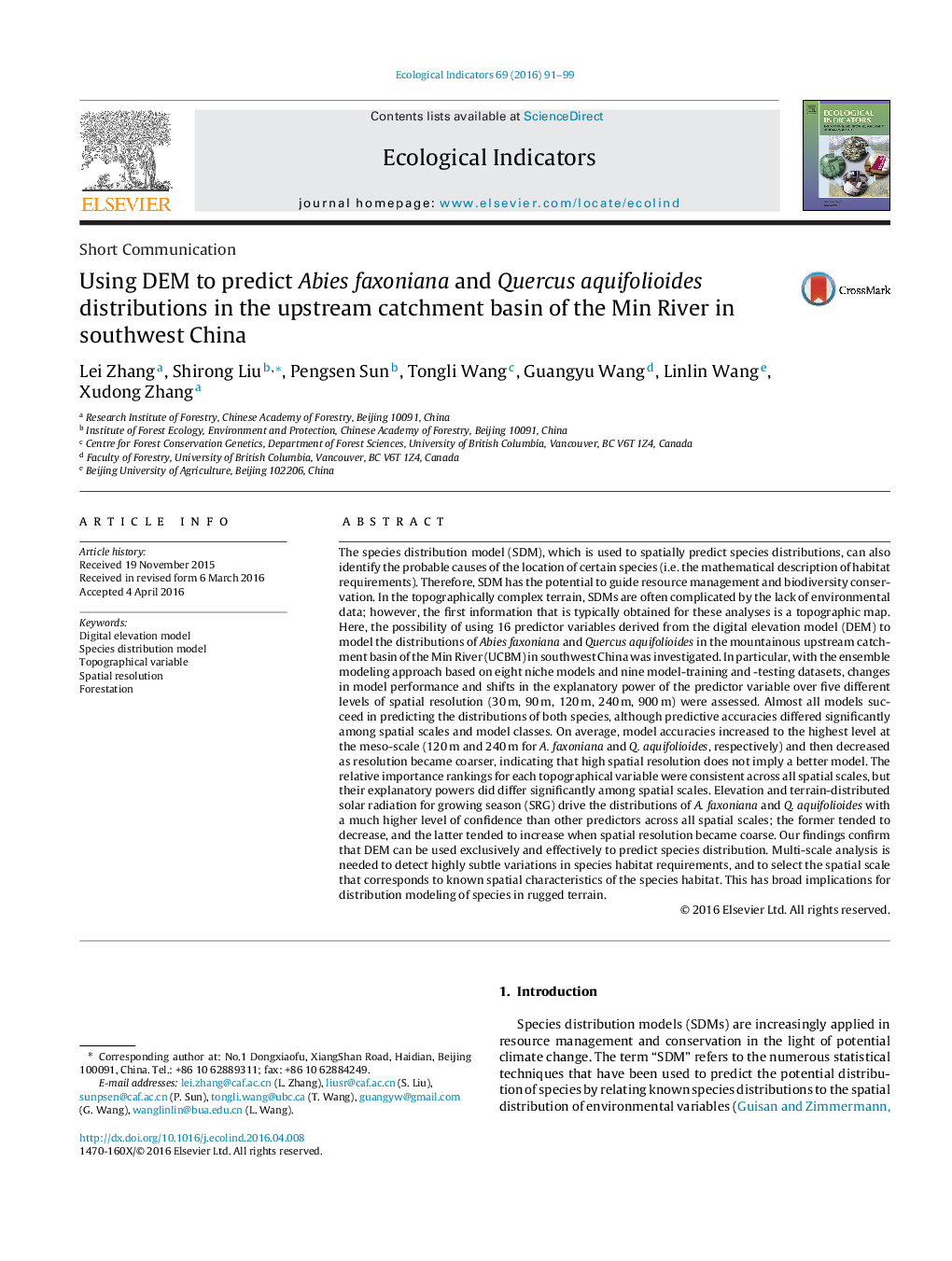
The species distribution model (SDM), which is used to spatially predict species distributions, can also identify the probable causes of the location of certain species (i.e. the mathematical description of habitat requirements). Therefore, SDM has the potential to guide resource management and biodiversity conservation. In the topographically complex terrain, SDMs are often complicated by the lack of environmental data; however, the first information that is typically obtained for these analyses is a topographic map. Here, the possibility of using 16 predictor variables derived from the digital elevation model (DEM) to model the distributions of Abies faxoniana and Quercus aquifolioides in the mountainous upstream catchment basin of the Min River (UCBM) in southwest China was investigated. In particular, with the ensemble modeling approach based on eight niche models and nine model-training and -testing datasets, changes in model performance and shifts in the explanatory power of the predictor variable over five different levels of spatial resolution (30Â m, 90Â m, 120Â m, 240Â m, 900Â m) were assessed. Almost all models succeed in predicting the distributions of both species, although predictive accuracies differed significantly among spatial scales and model classes. On average, model accuracies increased to the highest level at the meso-scale (120Â m and 240Â m for A. faxoniana and Q. aquifolioides, respectively) and then decreased as resolution became coarser, indicating that high spatial resolution does not imply a better model. The relative importance rankings for each topographical variable were consistent across all spatial scales, but their explanatory powers did differ significantly among spatial scales. Elevation and terrain-distributed solar radiation for growing season (SRG) drive the distributions of A. faxoniana and Q. aquifolioides with a much higher level of confidence than other predictors across all spatial scales; the former tended to decrease, and the latter tended to increase when spatial resolution became coarse. Our findings confirm that DEM can be used exclusively and effectively to predict species distribution. Multi-scale analysis is needed to detect highly subtle variations in species habitat requirements, and to select the spatial scale that corresponds to known spatial characteristics of the species habitat. This has broad implications for distribution modeling of species in rugged terrain.
ناشر
Database: Elsevier - ScienceDirect (ساینس دایرکت)
Journal: Ecological Indicators - Volume 69, October 2016, Pages 91-99
Journal: Ecological Indicators - Volume 69, October 2016, Pages 91-99
نویسندگان
Lei Zhang, Shirong Liu, Pengsen Sun, Tongli Wang, Guangyu Wang, Linlin Wang, Xudong Zhang,